YEAR PUBLISHED: 1762
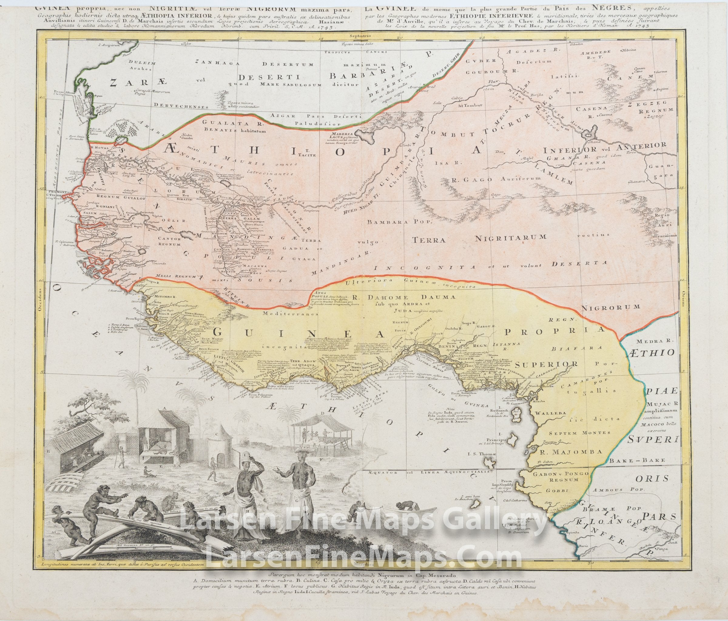
Guinea Propria, Nec Non Nigritiae Vel Terrae NigorumÉ Aethiopia InferiorÉ
DESCRIPTION
This is a beautiful and striking example of Homann's map of West Africa. The map shows the Gulf of Guinea up to Cape Blanc, Niger River, Aethiopiae Inferior and Anterior, Guinea and neighboring regions. The map is beautifully hand-colored in outline and wash as published. The map shows relief pictorially, ports and towns, waterways and bodies, and many notations describing the indigenous, along with one of the more highly decorative cartouches by Homann in the lower left.
FULL TITLE
MAPMAKER/CARTOGRAPHER/AUTHOR
PUBLISHER
PUBLICATION
DIMENSIONS (Inches)
CONDITION
Choose options
DESCRIPTION
FULL TITLE
MAPMAKER/CARTOGRAPHER/AUTHOR
PUBLISHER
PUBLICATION
DIMENSIONS (Inches)
CONDITION
DESCRIPTION
FULL TITLE
MAPMAKER/CARTOGRAPHER/AUTHOR
PUBLISHER
PUBLICATION
DIMENSIONS (Inches)
CONDITION