YEAR PUBLISHED: 1762
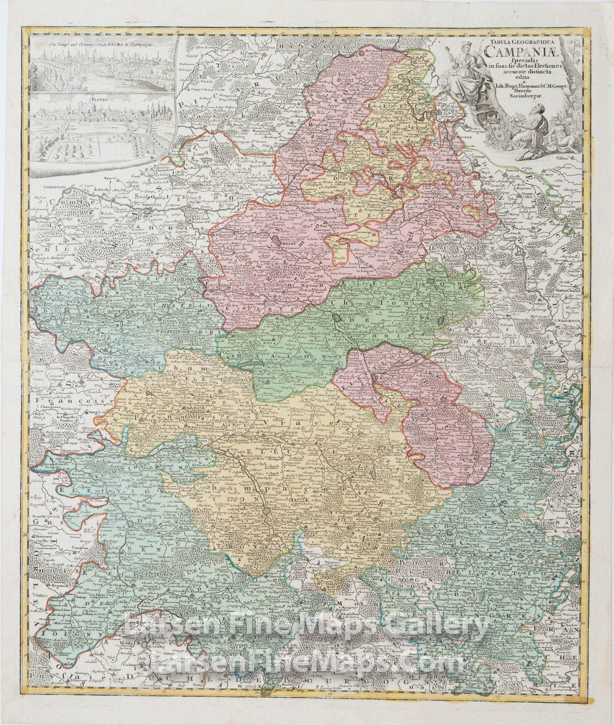
Tabula Geographica Campaniae specialis in suas sic dictas Electiones accurate distincta edita
DESCRIPTION
This is a beautiful and striking example of Homann's map of the Champagne region of France with inset views of the towns of Troyes and Reims. The map is beautifully hand-colored in outline and wash as published. The map shows relief, towns, forests, fortifications, churches, and other information pictorially, along with a decorative cartouche in the upper right.
FULL TITLE
MAPMAKER/CARTOGRAPHER/AUTHOR
PUBLISHER
PUBLICATION
DIMENSIONS (Inches)
CONDITION
Choose options
DESCRIPTION
FULL TITLE
MAPMAKER/CARTOGRAPHER/AUTHOR
PUBLISHER
PUBLICATION
DIMENSIONS (Inches)
CONDITION
DESCRIPTION
FULL TITLE
MAPMAKER/CARTOGRAPHER/AUTHOR
PUBLISHER
PUBLICATION
DIMENSIONS (Inches)
CONDITION