YEAR PUBLISHED: 1762
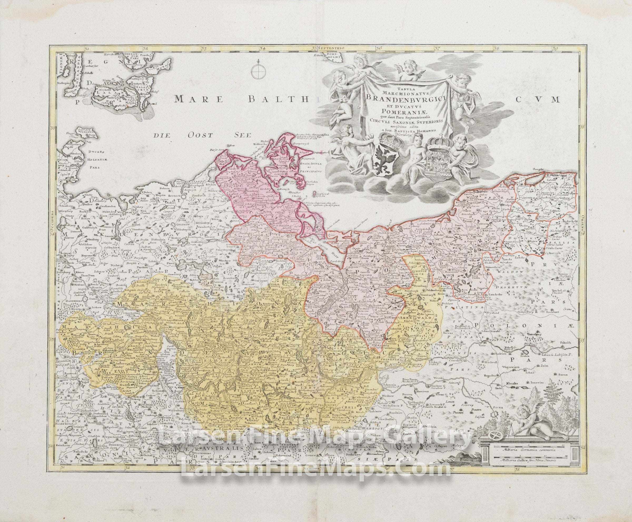
Tabula Marchionatus Brandenburgici Et Ducatus Pomeraniae quae sunt Pars Septentrionalis Circuli Saxoniae Superioris
DESCRIPTION
This is a beautiful and striking example of Homann's map of the State of Brandenburg and Duchy of Pomerania in present-day Germany and Poland. The map is beautifully hand-colored in outline and wash as published. The covered region shows the Kingdom of Prussia at the time including a portion of the Baltic Sea. The map shows relief, towns, fortifications, churches, and other information pictorially, along with a decorative cartouche in the upper right and scale bars in the lower right.
FULL TITLE
MAPMAKER/CARTOGRAPHER/AUTHOR
PUBLISHER
PUBLICATION
DIMENSIONS (Inches)
CONDITION
Choose options

DESCRIPTION
FULL TITLE
MAPMAKER/CARTOGRAPHER/AUTHOR
PUBLISHER
PUBLICATION
DIMENSIONS (Inches)
CONDITION
DESCRIPTION
FULL TITLE
MAPMAKER/CARTOGRAPHER/AUTHOR
PUBLISHER
PUBLICATION
DIMENSIONS (Inches)
CONDITION