YEAR PUBLISHED: 1762
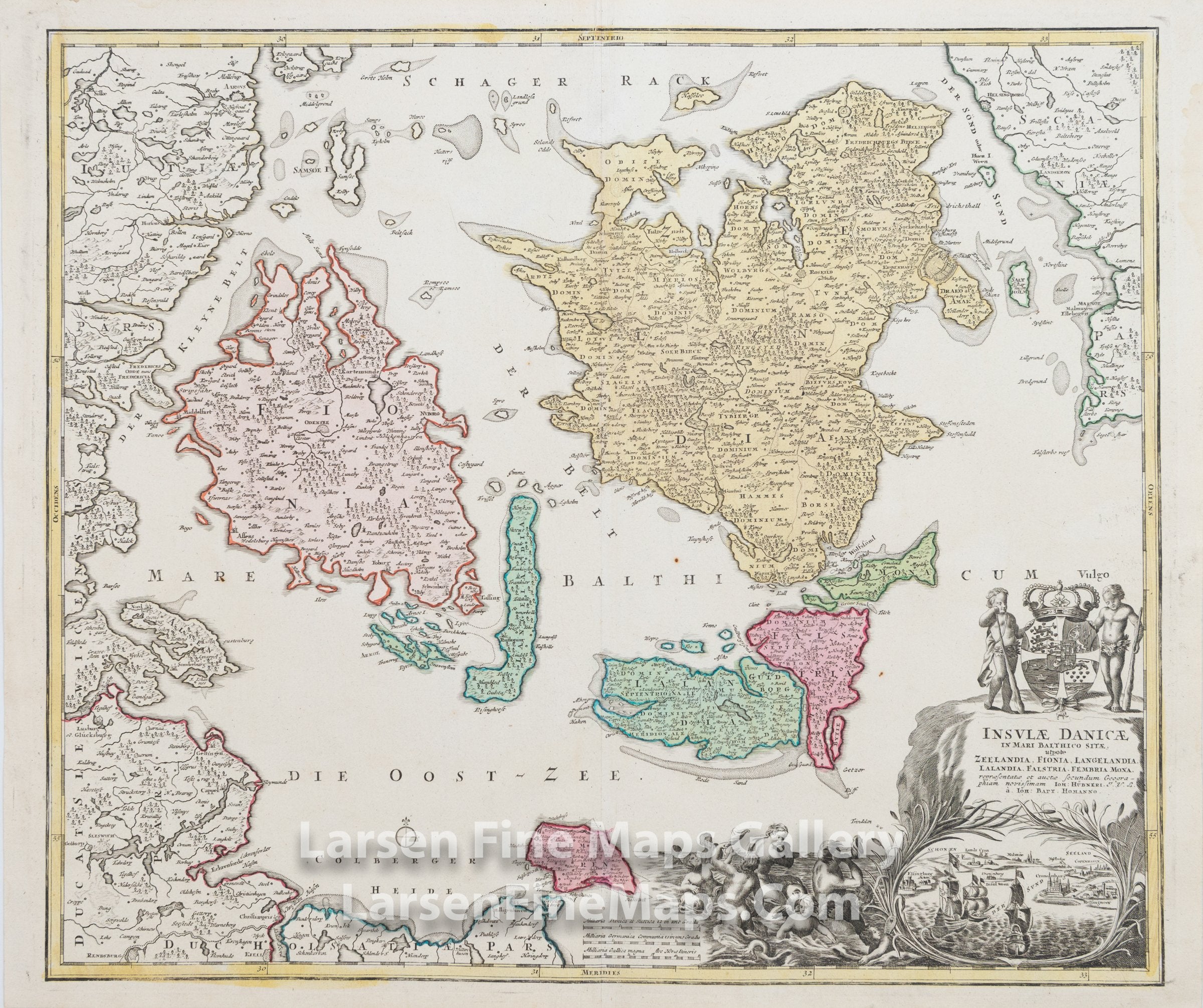
Insulae Danicae in Mari Balthico Sitae, utpote Zeelandia, Fionia, Langelandia, Lalandia, Falstria, Fembria, Mona
DESCRIPTION
This is a beautiful and striking example of Homann's map of the islands of Denmark and some parts of neighboring Germany, and Sweden. The map is beautifully hand-colored in outline and wash as published. The covered region shows all of France and portions of the neighboring countries. The map shows relief, towns, fortifications, churches, and other information pictorially, along with a highly decorative cartouche in the lower right. A bird's-eye view of the sound between Denmark and Sweden is incorporated into the cartouche.
FULL TITLE
MAPMAKER/CARTOGRAPHER/AUTHOR
PUBLISHER
PUBLICATION
DIMENSIONS (Inches)
CONDITION
Choose options
DESCRIPTION
FULL TITLE
MAPMAKER/CARTOGRAPHER/AUTHOR
PUBLISHER
PUBLICATION
DIMENSIONS (Inches)
CONDITION
DESCRIPTION
FULL TITLE
MAPMAKER/CARTOGRAPHER/AUTHOR
PUBLISHER
PUBLICATION
DIMENSIONS (Inches)
CONDITION