YEAR PUBLISHED: 1762
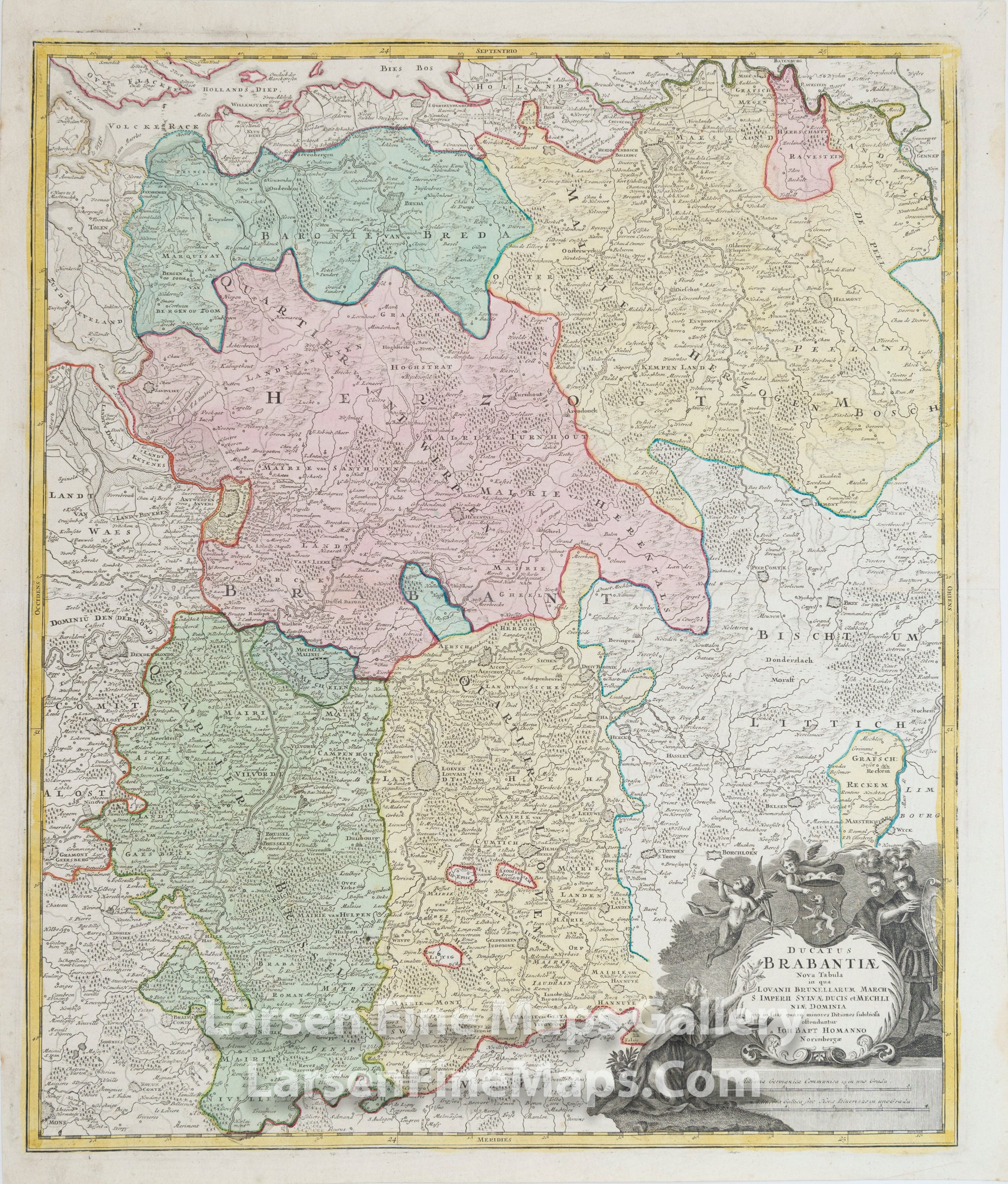
Ducatus Brabantiae Nova Tabula in qua Lovannii Bruxellarum March S. Imperii Sylvae Ducis et Mechliniae Dominia
DESCRIPTION
This is a striking and detailed map of a region in Belgium.
The map is beautifully hand-colored in outline and wash as published. This map shows Flanders, the fortified cities of Brussels, Niville, Mechelen, Sandvliet, Breda, Megen, Eyndhoven, Tilmont and others. The map shows many place names, rivers, mountains, towns, churches, etc., pictorially as is typical of Homann's maps. A highly figurative title cartouche adorns the map, this one with the coat of arms of the Duchy of Brabant, along with a mileage scale.
The map is beautifully hand-colored in outline and wash as published. This map shows Flanders, the fortified cities of Brussels, Niville, Mechelen, Sandvliet, Breda, Megen, Eyndhoven, Tilmont and others. The map shows many place names, rivers, mountains, towns, churches, etc., pictorially as is typical of Homann's maps. A highly figurative title cartouche adorns the map, this one with the coat of arms of the Duchy of Brabant, along with a mileage scale.
FULL TITLE
MAPMAKER/CARTOGRAPHER/AUTHOR
PUBLISHER
PUBLICATION
DIMENSIONS (Inches)
CONDITION
Choose options

DESCRIPTION
FULL TITLE
MAPMAKER/CARTOGRAPHER/AUTHOR
PUBLISHER
PUBLICATION
DIMENSIONS (Inches)
CONDITION
DESCRIPTION
FULL TITLE
MAPMAKER/CARTOGRAPHER/AUTHOR
PUBLISHER
PUBLICATION
DIMENSIONS (Inches)
CONDITION