YEAR PUBLISHED: 1853
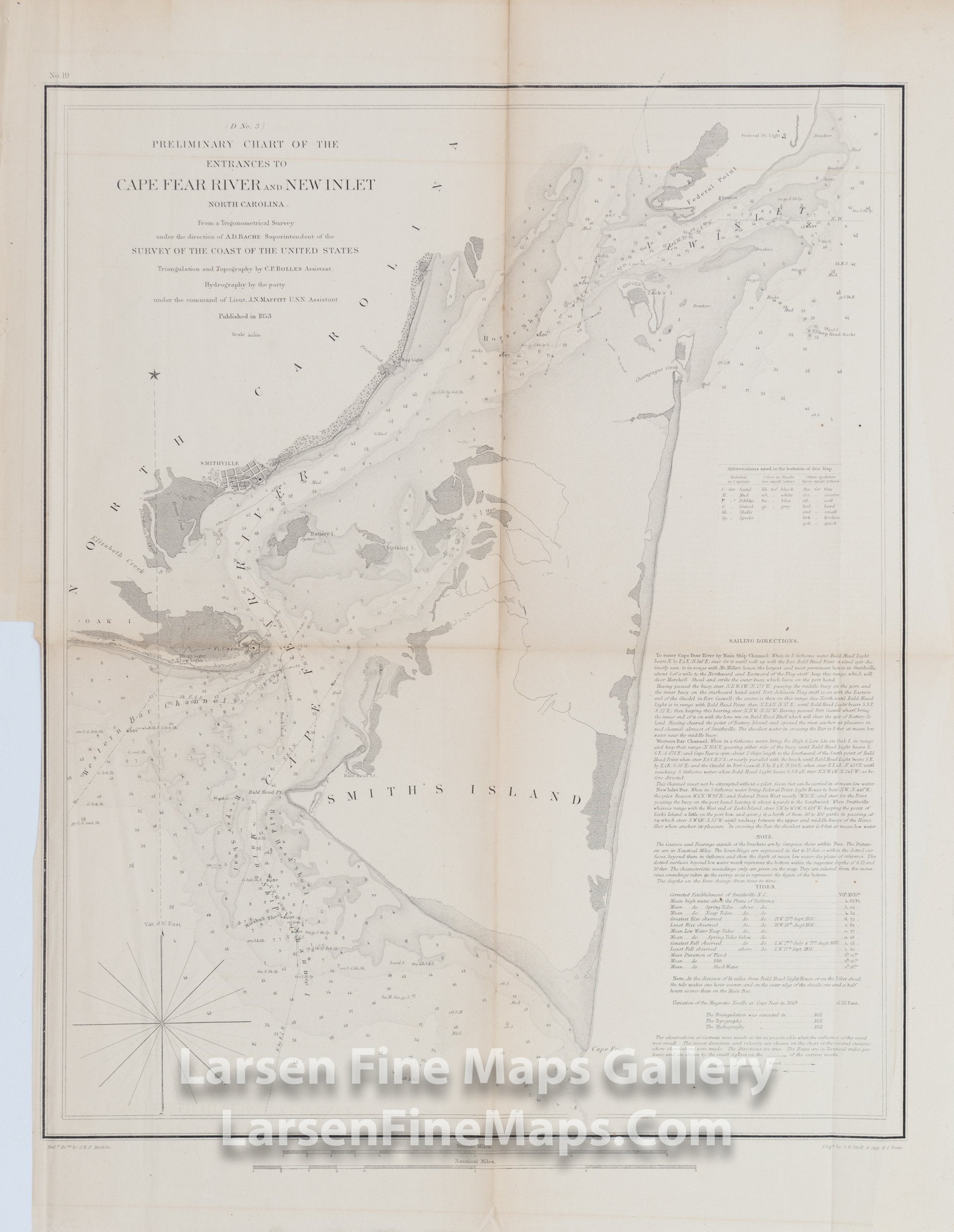
Preliminary Chart of the Entrances to Cape Fear River and New Inlet North Carolina
DESCRIPTION
Chart of Entrances to Cape Fear River and New Inlet, North Carolina. Charting extends from Federal Point south to Cape Fear and then west past Smithville and Fort Caswell to Oak Island. This chart details the main channels of navigation along with bathymetry shown by shading and numersous depth soundings, aids and hazards to navigation. There is a good amounbt of inland detail along the coast line including nice detail of the town of Smithville. Sailing instructions, tidal information and notes are given in detail also.
FULL TITLE
MAPMAKER/CARTOGRAPHER/AUTHOR
PUBLISHER
PUBLICATION
DIMENSIONS (Inches)
CONDITION
Choose options

DESCRIPTION
FULL TITLE
MAPMAKER/CARTOGRAPHER/AUTHOR
PUBLISHER
PUBLICATION
DIMENSIONS (Inches)
CONDITION
DESCRIPTION
FULL TITLE
MAPMAKER/CARTOGRAPHER/AUTHOR
PUBLISHER
PUBLICATION
DIMENSIONS (Inches)
CONDITION