YEAR PUBLISHED: 1853
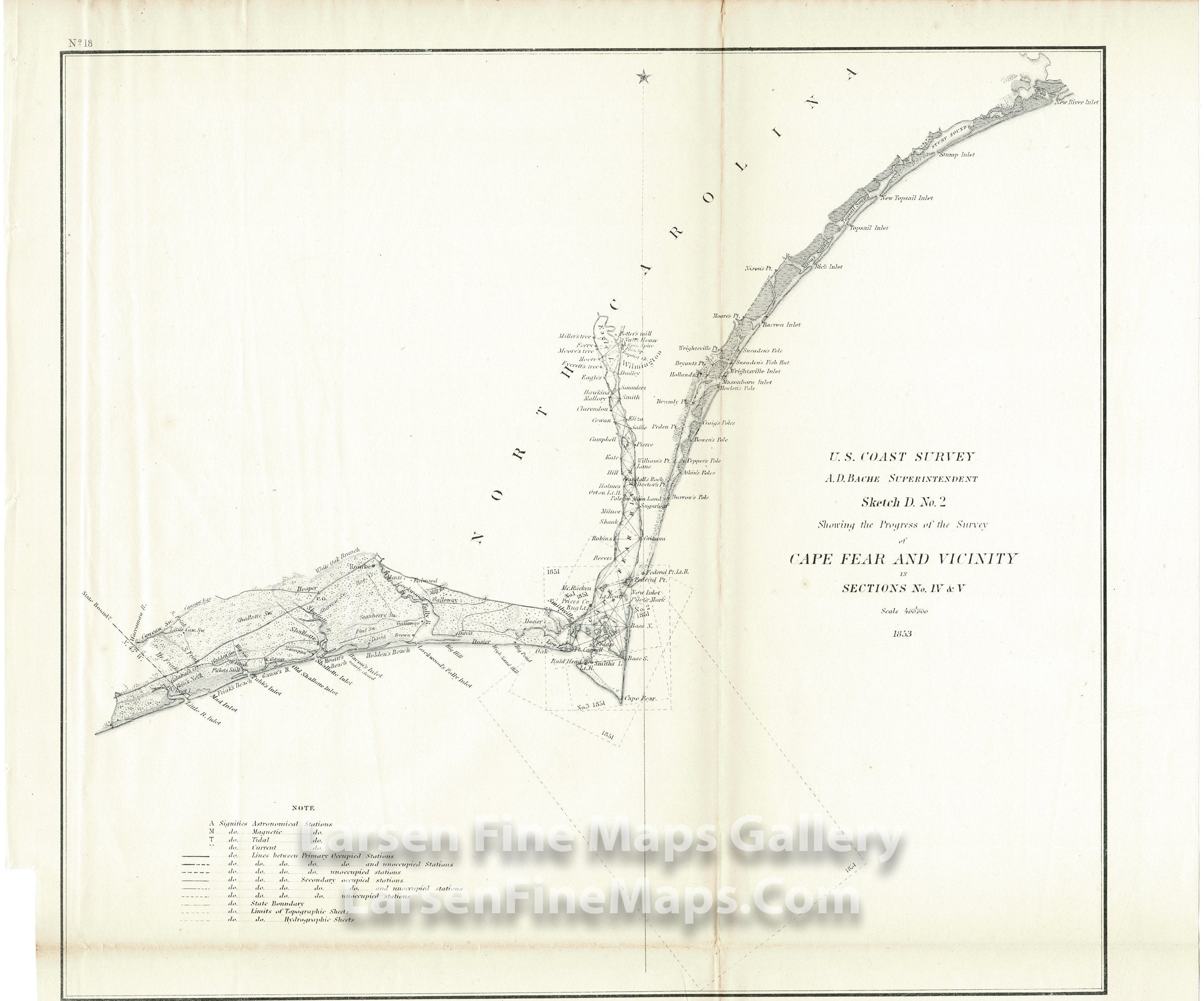
Sketch D. No. 2 Showing the Progress of Survey of Cape Fear and Vicinity in Sections No. IV & V
DESCRIPTION
Chart showing the coast from Little River Inlet, to Cape Fear, Smith's Island, and Frypan Shoals north to New River Inlet. Shows detail up Cape Fear River to Wilmington and inland details. Some delineations for other surveys are depicted at Cape Fear. Some depth soundings and astronomical stations are noted.
FULL TITLE
MAPMAKER/CARTOGRAPHER/AUTHOR
PUBLISHER
PUBLICATION
DIMENSIONS (Inches)
CONDITION
Choose options

DESCRIPTION
FULL TITLE
MAPMAKER/CARTOGRAPHER/AUTHOR
PUBLISHER
PUBLICATION
DIMENSIONS (Inches)
CONDITION
DESCRIPTION
FULL TITLE
MAPMAKER/CARTOGRAPHER/AUTHOR
PUBLISHER
PUBLICATION
DIMENSIONS (Inches)
CONDITION