YEAR PUBLISHED: 1853
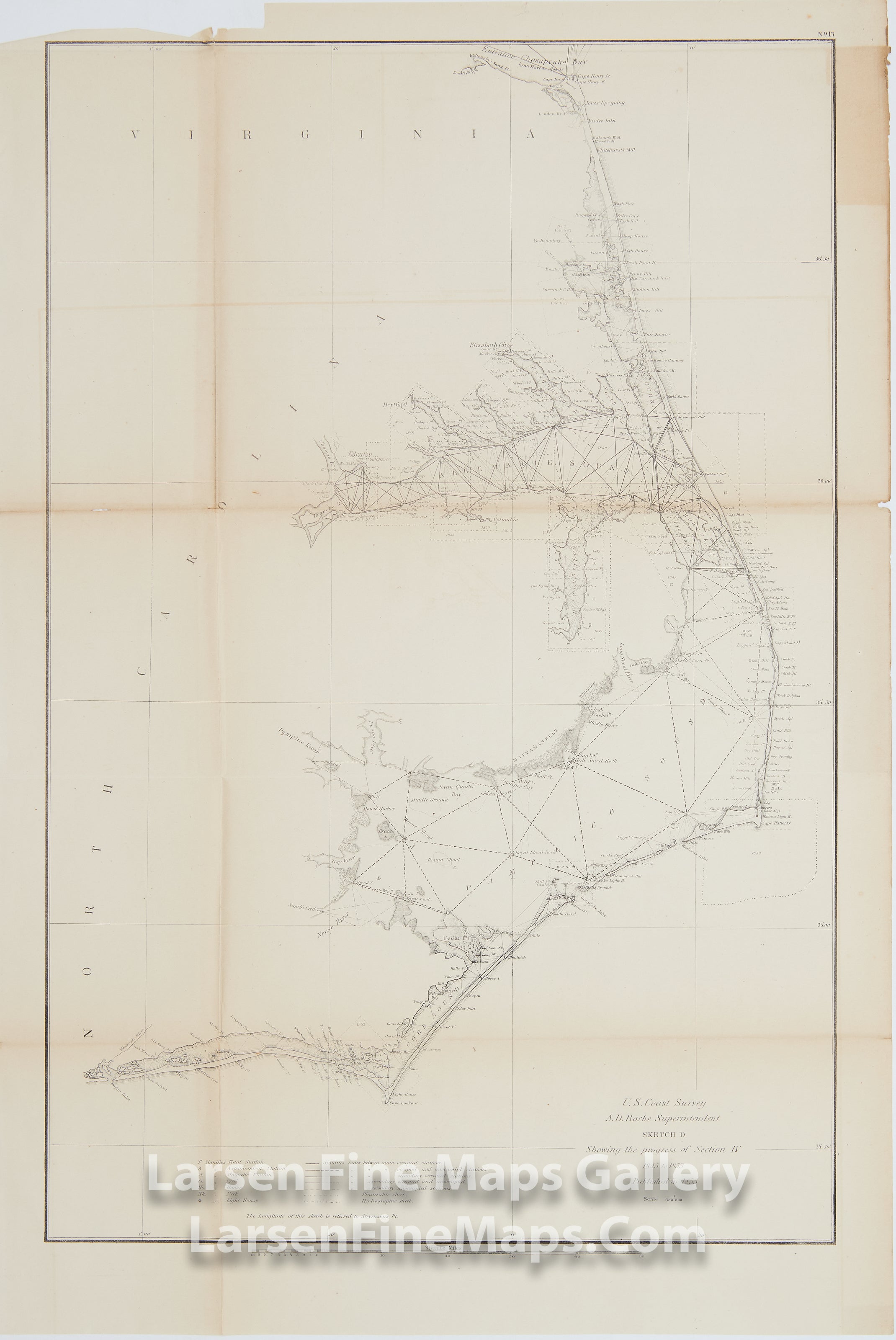
Sketch D Showing the Progress of Section IV 1845 to 1853
DESCRIPTION
Triangulation progress chart showing the coasts of Virginia and North Carolina. Bogue Sound, Bogue Inlet, Cape Henry, Virginia, Pamlico Sound, Cape Hatteras, Cape Fear. Major islands, rivers, and inlets, coastal cities are depicted as well as lighthouses, rivers, beaches and other sites identified. Albemarle Sound and Pamlico Sound are charted as well.
FULL TITLE
MAPMAKER/CARTOGRAPHER/AUTHOR
PUBLISHER
PUBLICATION
DIMENSIONS (Inches)
CONDITION
Choose options
DESCRIPTION
FULL TITLE
MAPMAKER/CARTOGRAPHER/AUTHOR
PUBLISHER
PUBLICATION
DIMENSIONS (Inches)
CONDITION
DESCRIPTION
FULL TITLE
MAPMAKER/CARTOGRAPHER/AUTHOR
PUBLISHER
PUBLICATION
DIMENSIONS (Inches)
CONDITION