
YEAR PUBLISHED: 1798
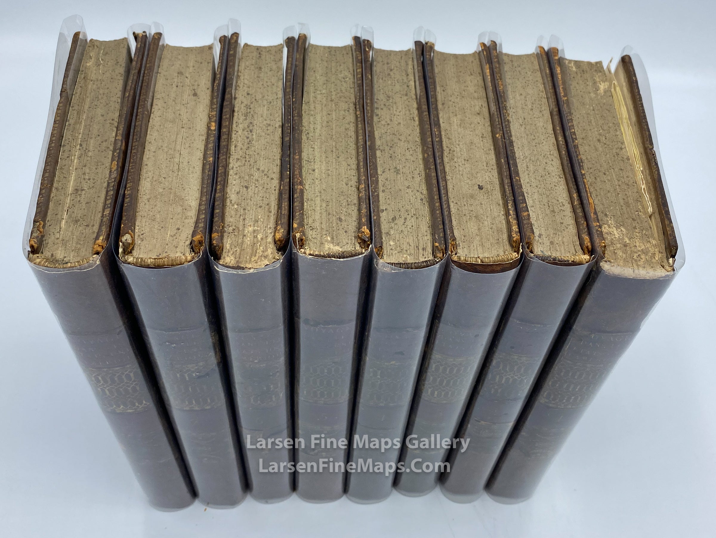
Voyage dans les États-Unis d'Amerique, Eight Volumes with Maps
DESCRIPTION
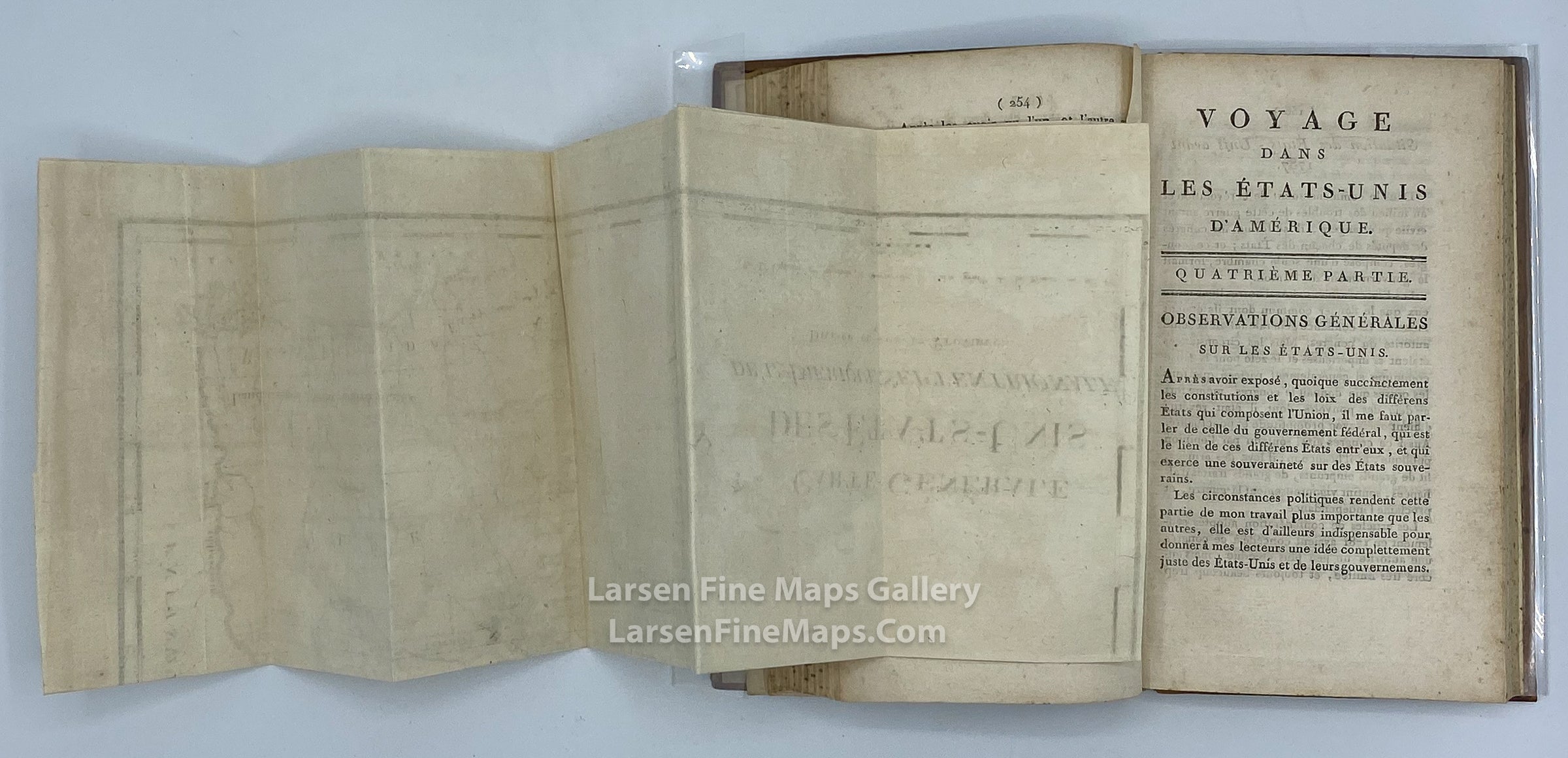
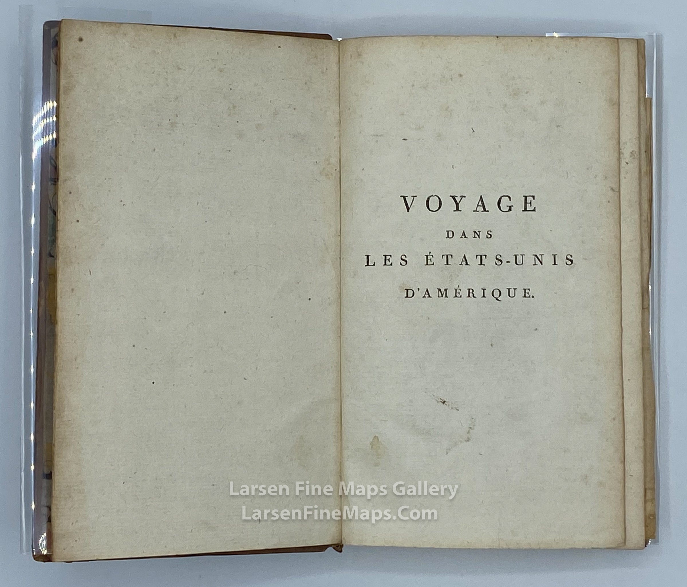
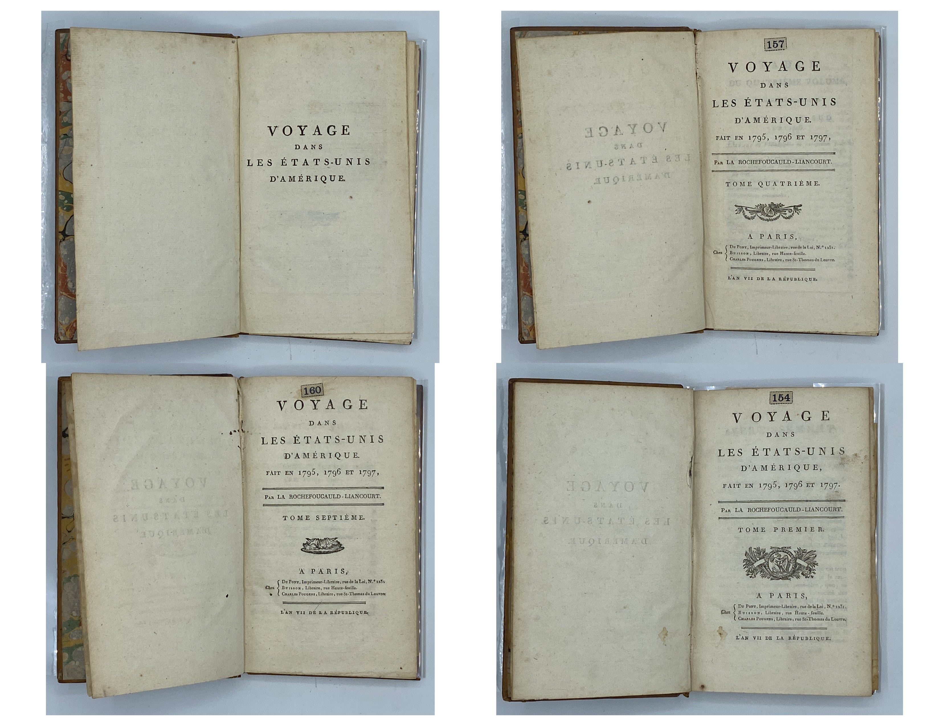
A complete set of 8 volumes including the oft-missing three maps; Voyage dans les États-Unis d'Amérique, by La Rochefoucauld-Liancourt.
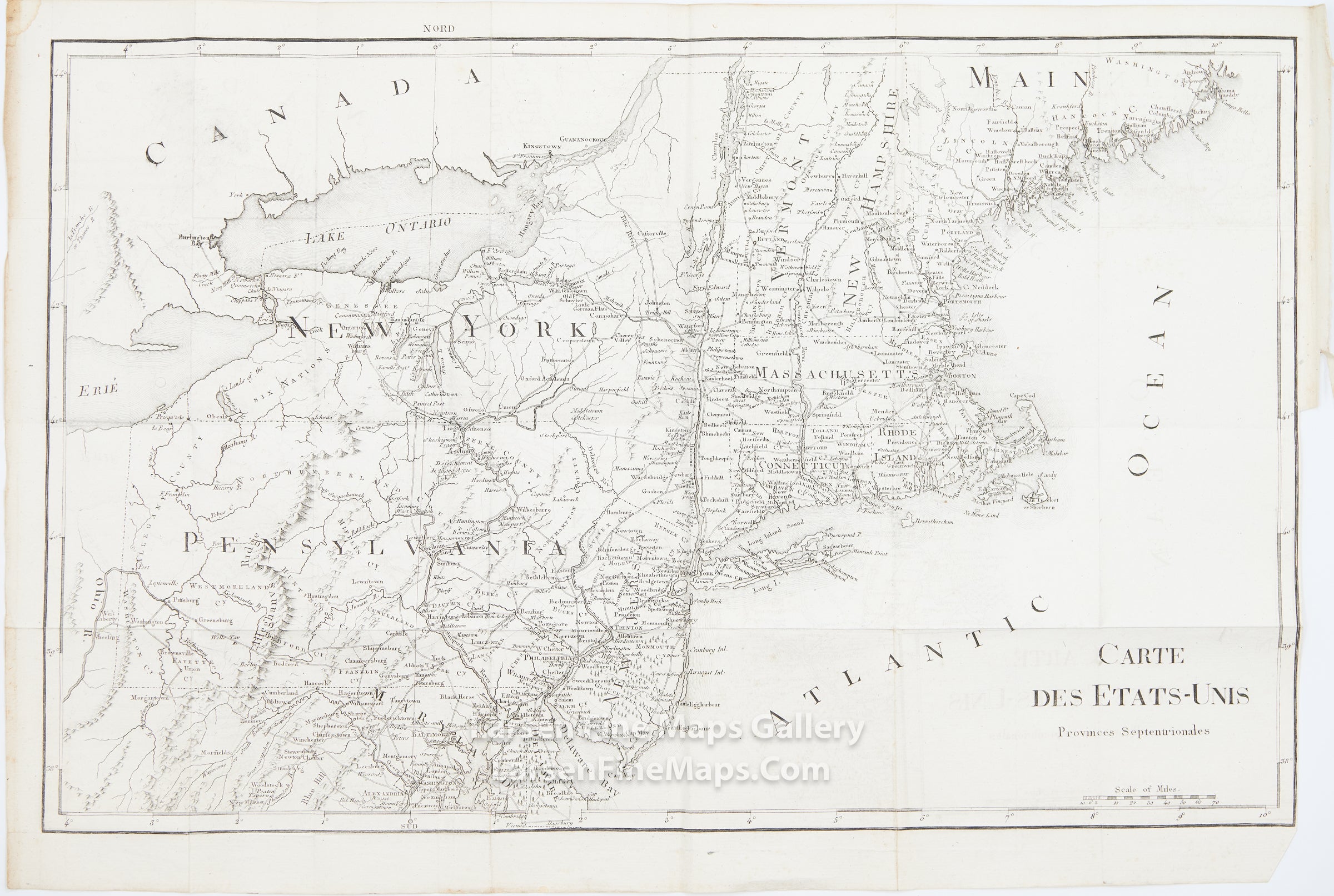
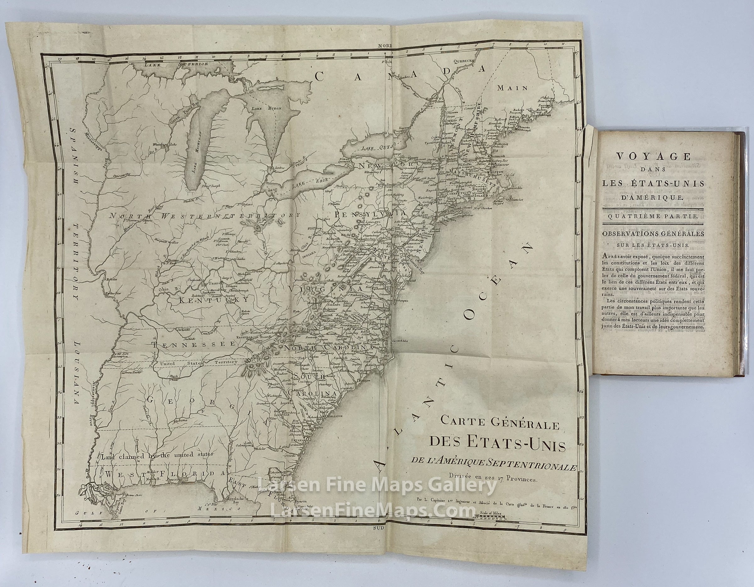
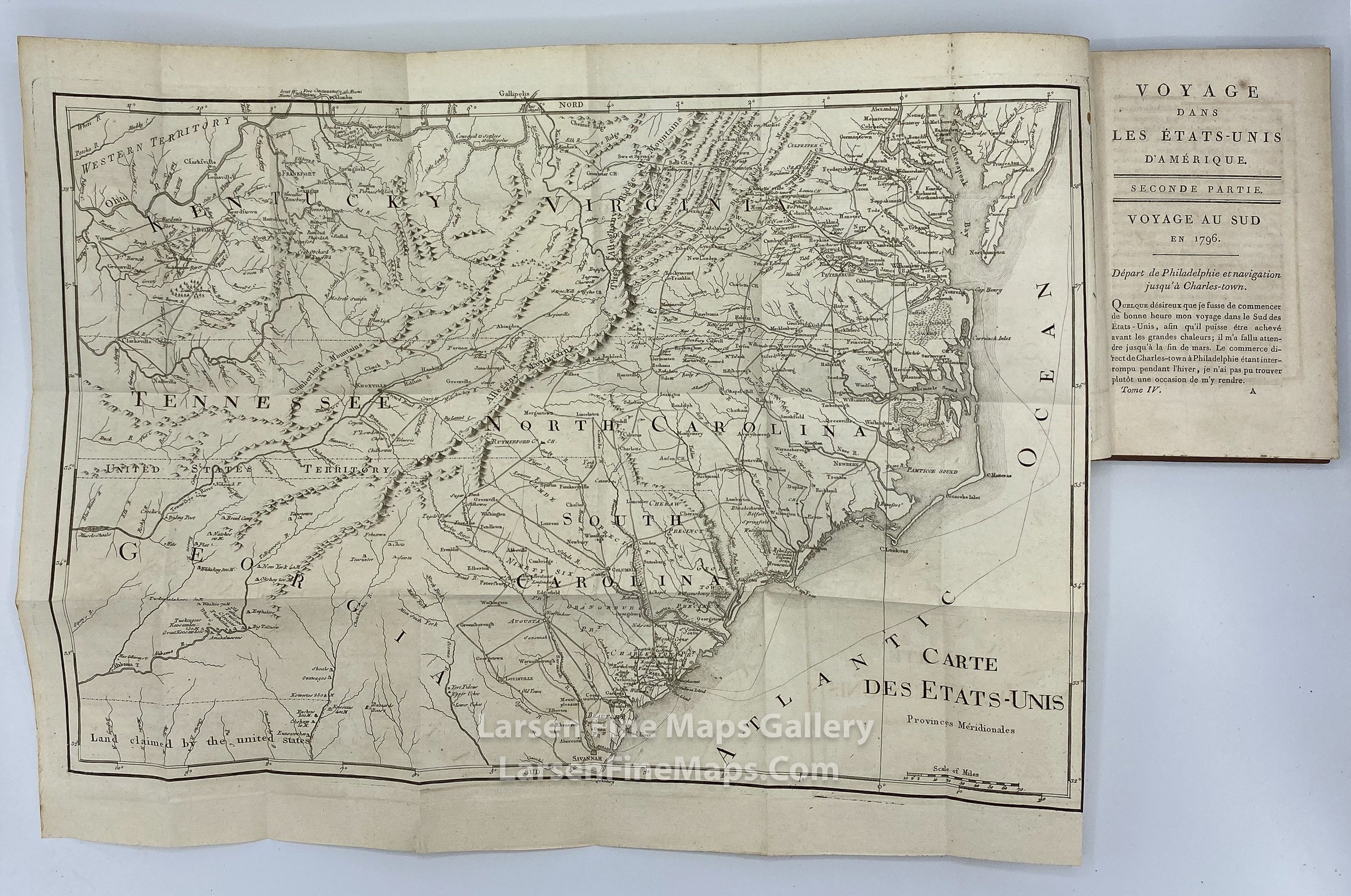
The maps show the United States from Main to Georgia and parts of Canada. The maps show incredible detail, place names, roads, rivers, lakes, state boundaries, the mountain ranges depicted pictorially, and the Great Lakes. The maps are in English, but the titles are in French.
The Maps:
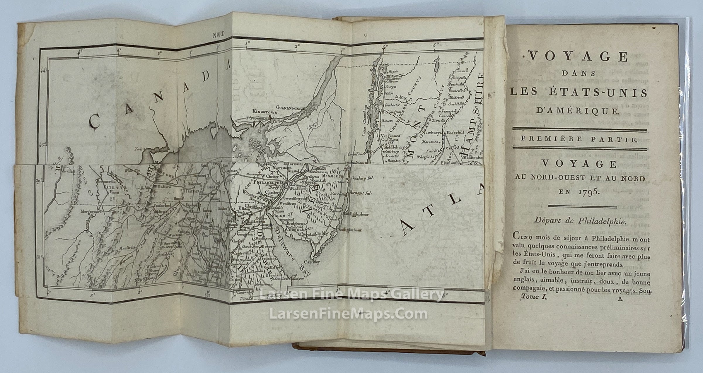
1) Carte des Etats-Unis Provinces Septentrionales (this map is loose in Volume-1 Tome I). This map shows the United States from Maryland (Delaware Bay) north to Maine (Main as labeled on the map) and part of Canada.
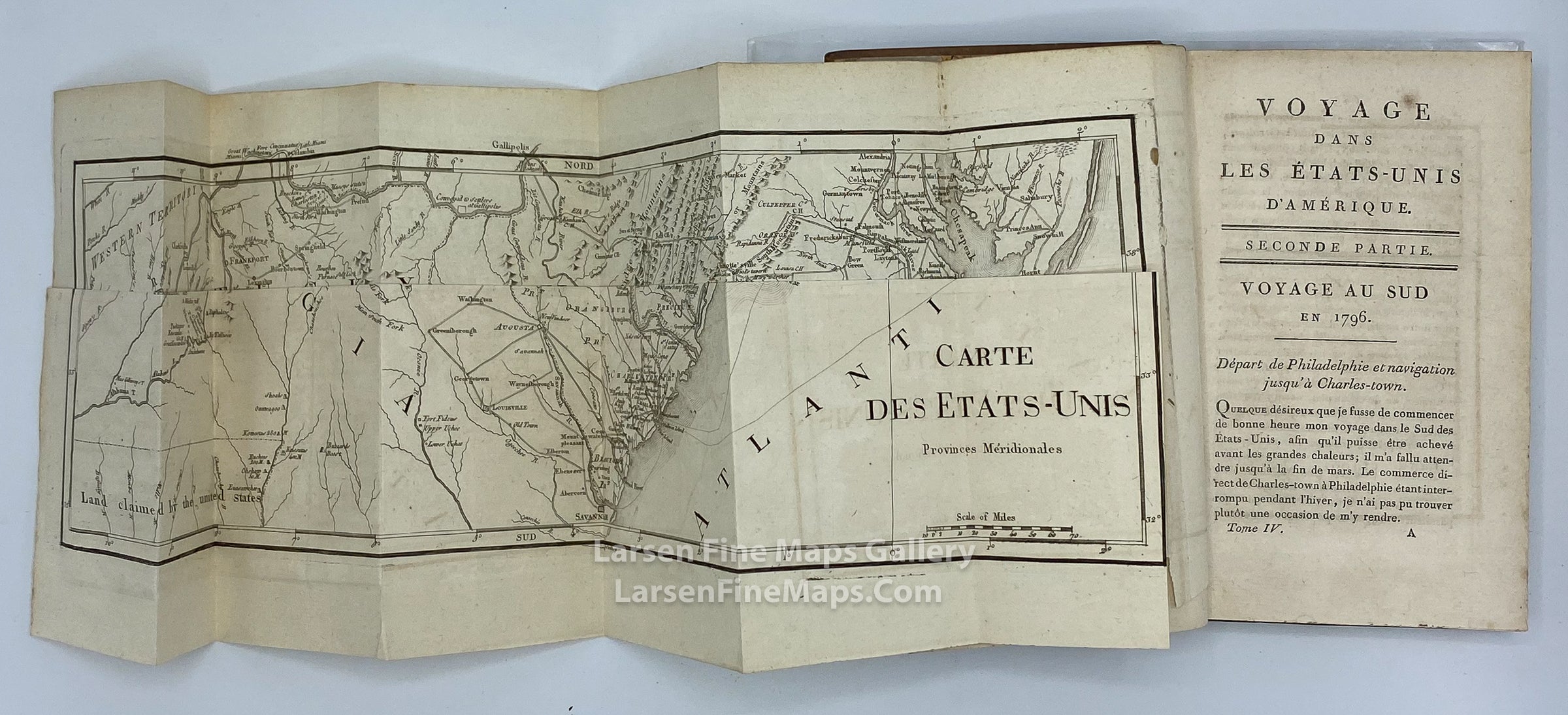
2) Carte Des Etats-Unis Provinces Meridionales. This map shows the United States from Savannah to the Chesapeake Bay. The map shows incredible detail, place names, roads, rivers, lakes, state boundaries, pictorially shown mountains, and a part of "United States Territory".
3) Carte Generale Des Etats-Unis De L'Amerique Septentrionale, Divisee en ses 17 Provinces. The map extends from the Gulf of Mexico, including part of East and West Florida, Georgia, to the Mississippi River, including a thin strip of land extending westward between Georgia and West Florida labeled "Land claimed by the United States" (referring to the disputed region between the United States and Spain). North of Georgia is a thin strip of land labeled "United States Territory." The map extends north to Maine and parts of Canada.
FULL TITLE
MAPMAKER/CARTOGRAPHER/AUTHOR
PUBLISHER
PUBLICATION
DIMENSIONS (Inches)
CONDITION
Choose options
DESCRIPTION
FULL TITLE
MAPMAKER/CARTOGRAPHER/AUTHOR
PUBLISHER
PUBLICATION
DIMENSIONS (Inches)
CONDITION
DESCRIPTION
FULL TITLE
MAPMAKER/CARTOGRAPHER/AUTHOR
PUBLISHER
PUBLICATION
DIMENSIONS (Inches)
CONDITION