

YEAR PUBLISHED: 1879
Topographic Drawings by E. Hergesheimer, Assistant.
DESCRIPTION
Examples include:
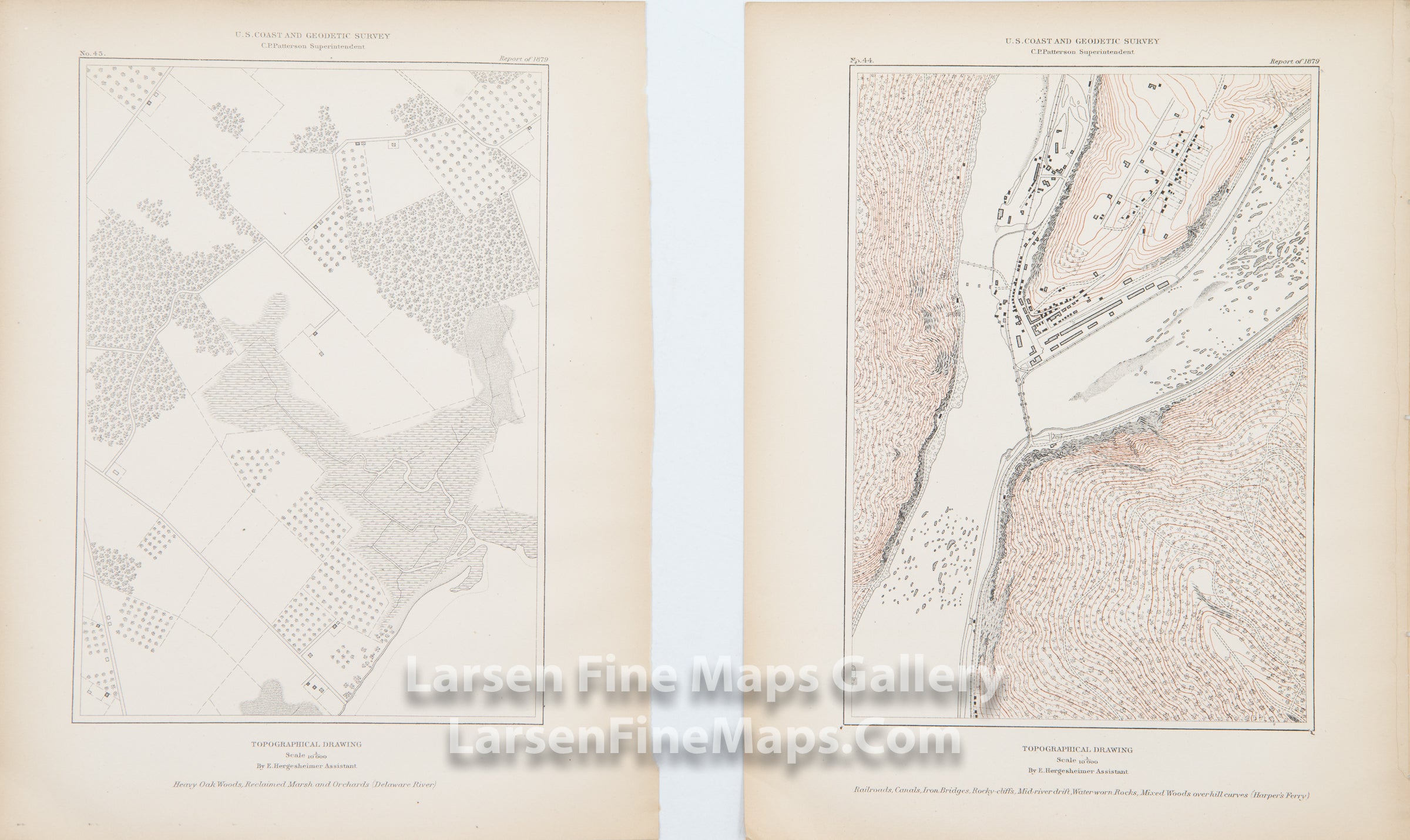
Heavy Oak Woods, Reclaimed Marsh and Orchards (Delaware River)
Railroads, Canals, Iron Bridges, Rocky-cliffs, Mid-river drift, Water-worn Rocks, Mixed Woods overhill curves (Harper's Ferry)
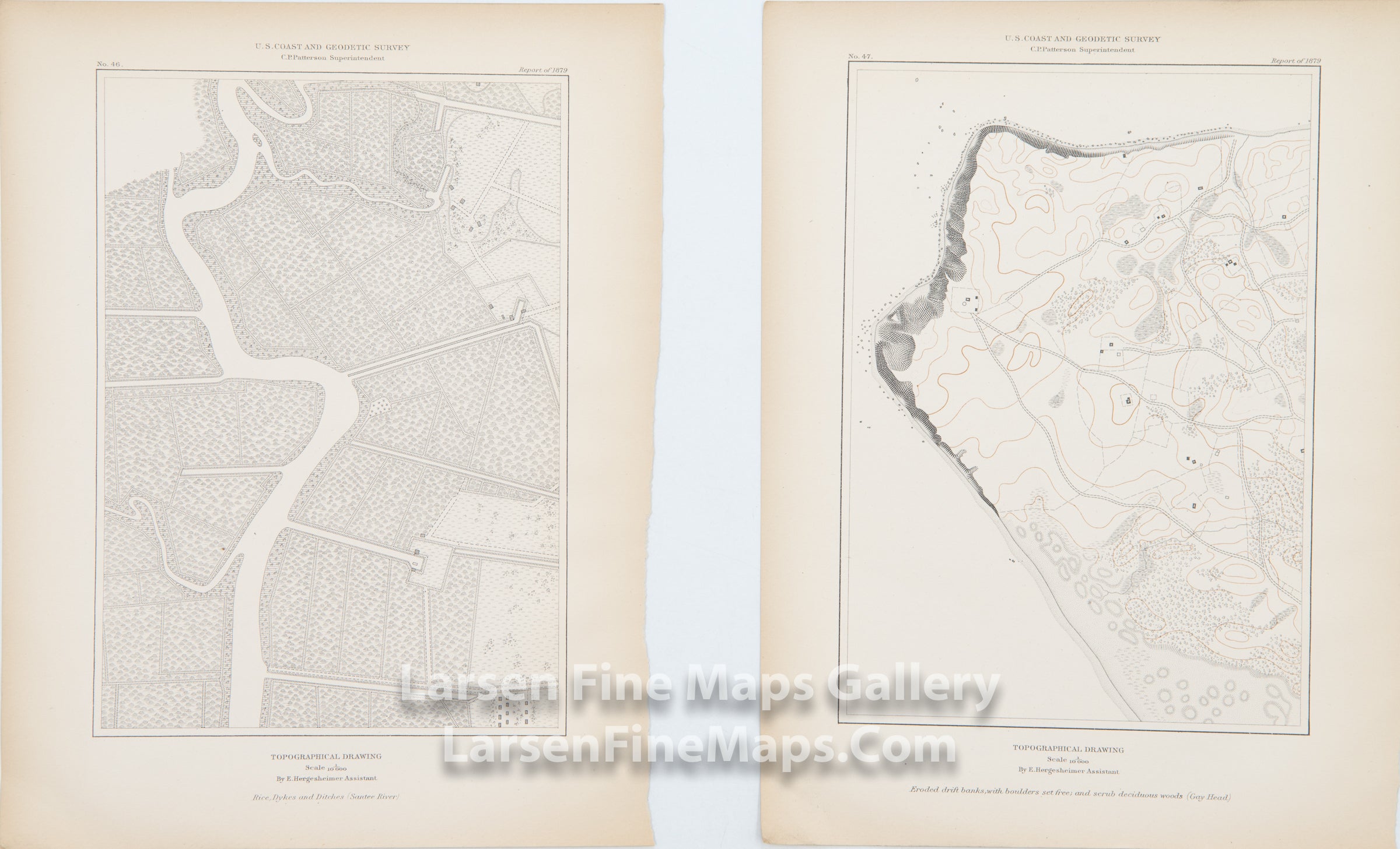
Rice, Dykes, and Ditches (Santee River)
Eroded drift banks, with boulders, set free; and scrub deciduous woods (Gay Head)
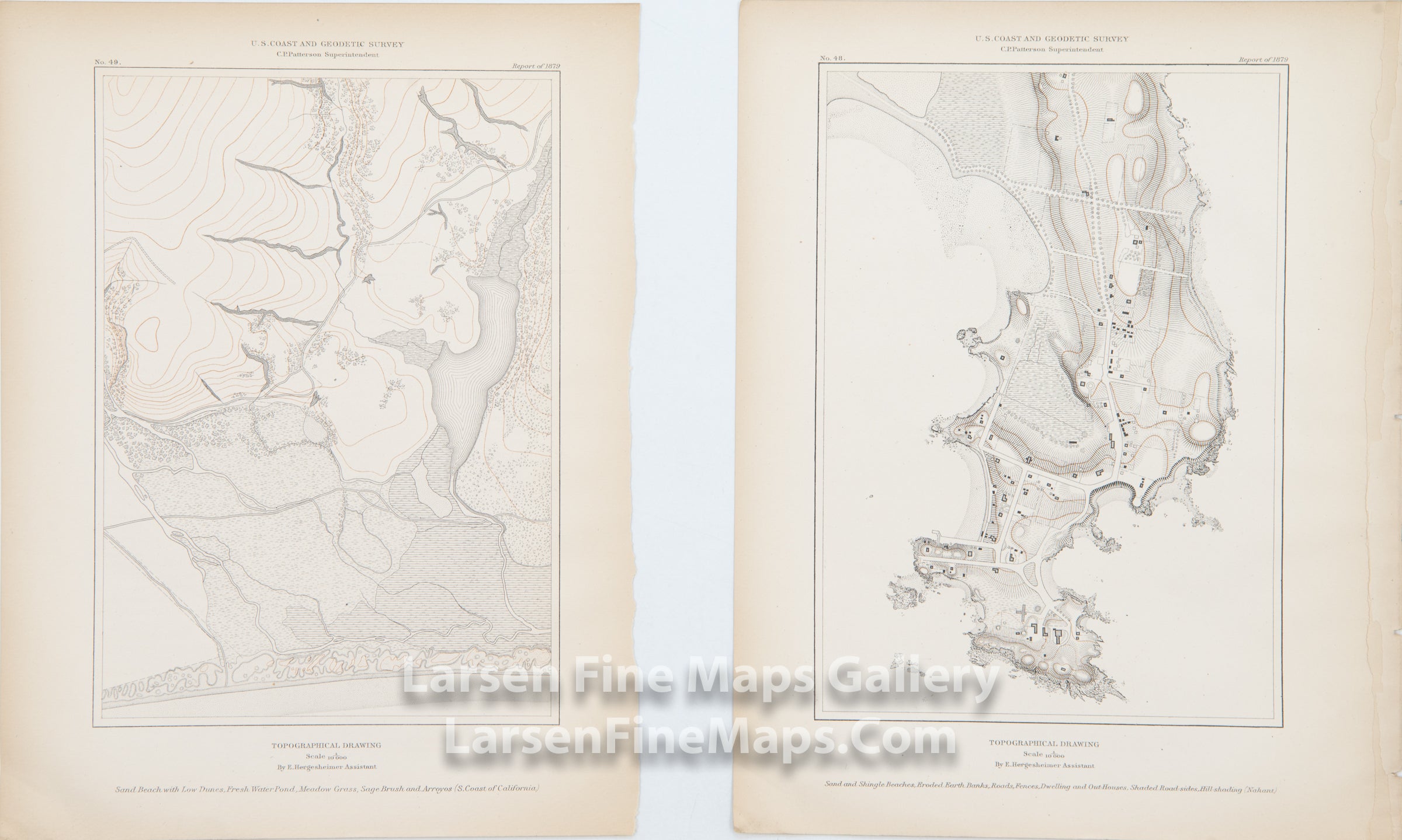
Sand Beach with Low Dunes, Fresh Water Pond, Meadow Grass, Sage Brush and Arroyos (S. Coast California)
Sand and Shingle Beaches, Eroded Earth Banks, Roads, Fences, Dwelling and Out-Houses, Shaded Road-sides, Hill-shading (Nahant)
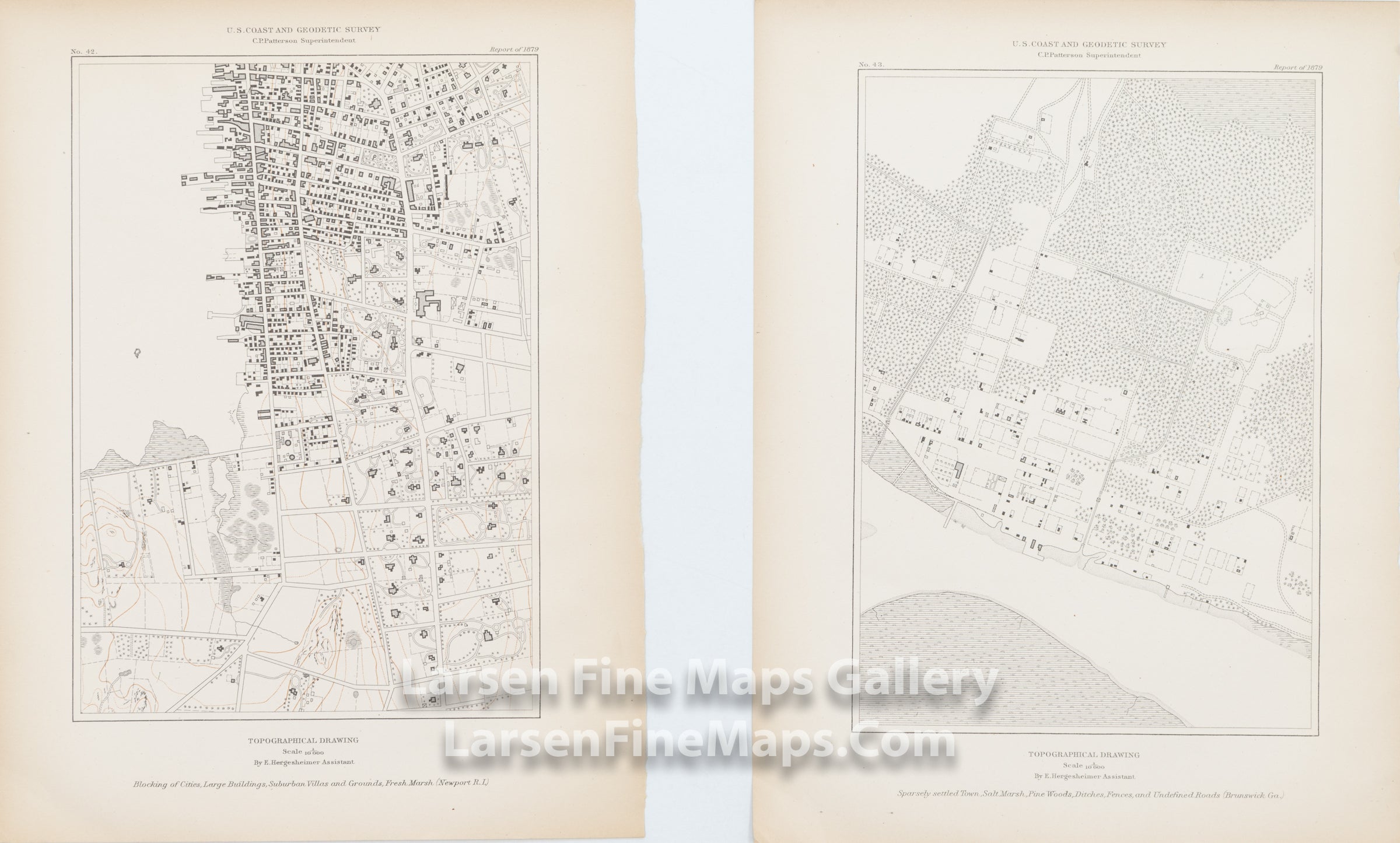
Blocking of Cities, Large Buildings, Suburban Villas and Grounds, Fresh Marsh (Newport R.I.)
Sparsely settled Town, Salt Marsh, Pine Woods, Ditches, Fences, and Undefined Roads (Brunswick, Ga.)
IMPORTANT NOTE:
All of our United States Coast Survey (USCS), United States Coast & Geodetic Survey (USC&GS), and similar maps and charts have been professionally unfolded and flattened using humidity baths, semi-permeable membrane, and drying blotter techniques. Most others you typically see on eBay have not been, and worse, are quickly and crudely unfolded for the low-quality photos you see. Unfolding these maps in that way is damaging and weakens them. Please be aware.
FULL TITLE
MAPMAKER/CARTOGRAPHER/AUTHOR
PUBLISHER
PUBLICATION
DIMENSIONS (Inches)
CONDITION
Choose options
DESCRIPTION
FULL TITLE
MAPMAKER/CARTOGRAPHER/AUTHOR
PUBLISHER
PUBLICATION
DIMENSIONS (Inches)
CONDITION
DESCRIPTION
FULL TITLE
MAPMAKER/CARTOGRAPHER/AUTHOR
PUBLISHER
PUBLICATION
DIMENSIONS (Inches)
CONDITION