YEAR PUBLISHED: 1866
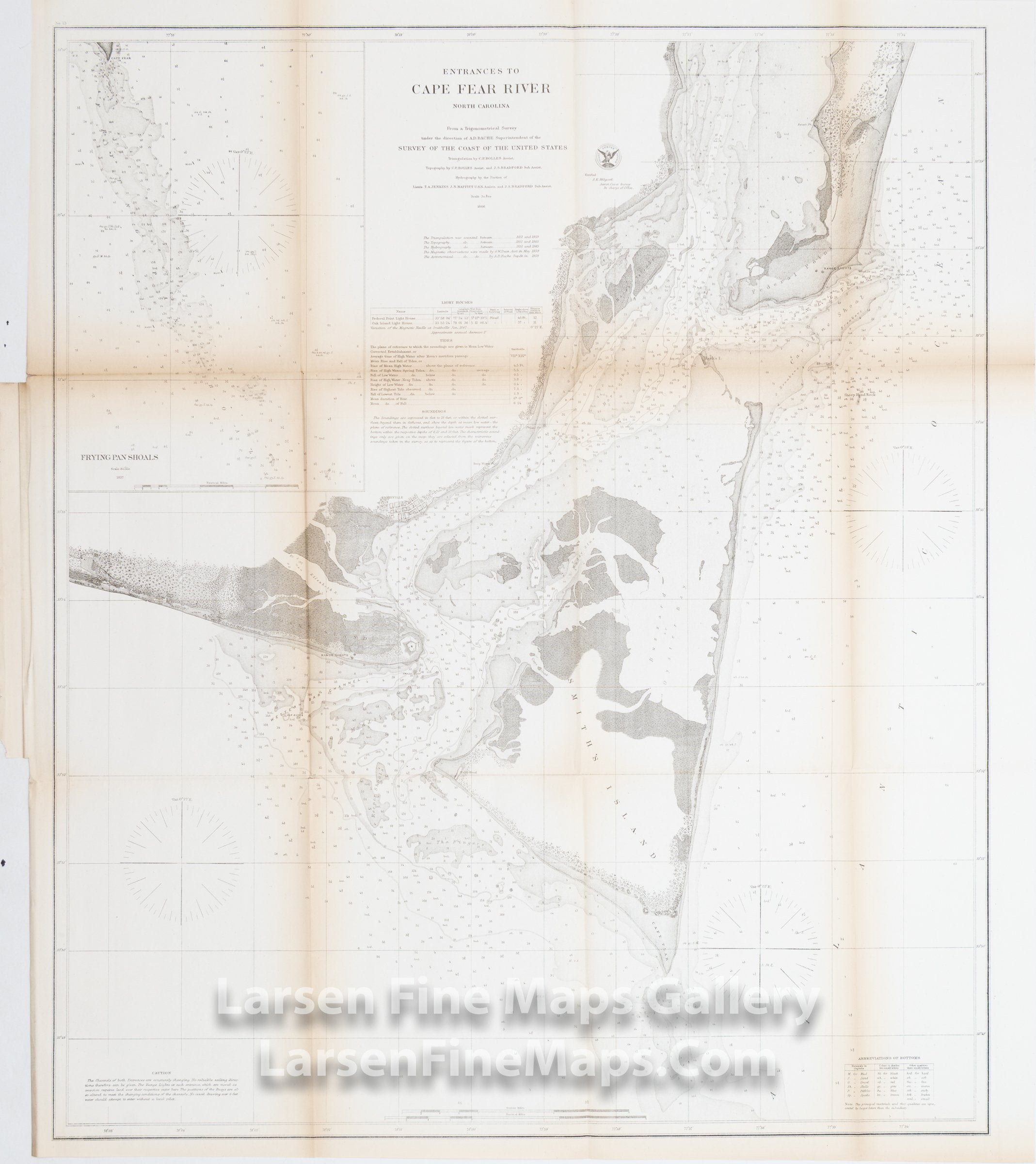
Entrances to Cape Fear River, North Carolina
DESCRIPTION
A very large and striking edition of the U.S Coast Survey's Map of North Carolina's Cape Fear. Extends from Federal Point south to the tip of Cape Fear and then west past Smithville and Fort Caswell to Oak Island. An inset of the Frying Pan Shoals that extend south from the top of Cape Fear is shown. Depths soundings and aids to navigation showing shoals, channels, points, rivers, buoys, lighthouses, and tides are extensive. The preliminary work for this region was completed in 1857. The triangulation for this chart was calculated by C. P. Bolles. The topography was completed by C. P. Bolles and J. S Bradford. Hydrography was accomplished by T. A. Jenkins, J. N. Maffitt, and J. S. Bradford. Issued in the 1867 supplement to the 1865 Superintendent's Report.
FULL TITLE
MAPMAKER/CARTOGRAPHER/AUTHOR
PUBLISHER
PUBLICATION
DIMENSIONS (Inches)
CONDITION
Choose options
DESCRIPTION
FULL TITLE
MAPMAKER/CARTOGRAPHER/AUTHOR
PUBLISHER
PUBLICATION
DIMENSIONS (Inches)
CONDITION
DESCRIPTION
FULL TITLE
MAPMAKER/CARTOGRAPHER/AUTHOR
PUBLISHER
PUBLICATION
DIMENSIONS (Inches)
CONDITION