YEAR PUBLISHED: 1797
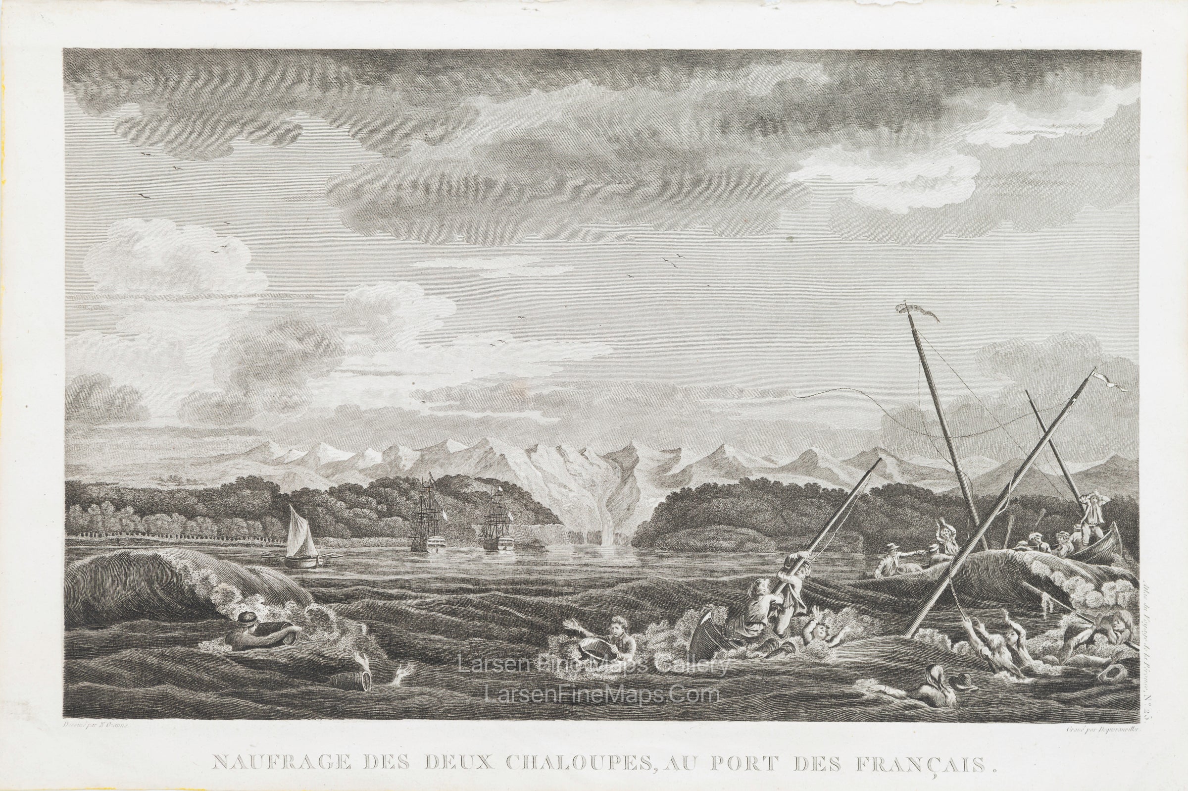
Naufrage des deux chaloupes, au Port des Francais
DESCRIPTION
A striking, highly decorative, unusual copper-engraved large chart of Lituya Bay is located within Glacier Bay National Park, along Alaska's southeastern coast.
A striking and highly detailed fine unusual first French edition of La Perouse's 1787 important superb copper engraved earliest obtainable view showing the shipwreck of two small boats that were part of the La Perouse Expedition, during their reconnaissance of Lituya Bay, near Juneau, Alaska. The view depicts a group of French crew members fighting a storm in small boats as a sailing ship at the right comes to the rescue, with the rocky mountains of the Alaskan Coastal range in the distance.
La Perouse discovered the bay in 1786 and named it Port des Francais. He hoped to make it France's major port in the Pacific Northwest and described it as "perhaps the most extraordinary place in the world." He soon discovered what makes the idyllic bay famous today: high (10-foot) tides and strong (14 mph) tidal currents. Twenty-one of La Perouse's men perished in the tidal currents while they were attempting to sound the waters at the narrow entrance. La Perouse built a monument to the lost men on the island in the center of the bay, which he named Cenotaph (meaning empty tomb) Island.
FULL TITLE
MAPMAKER/CARTOGRAPHER/AUTHOR
PUBLISHER
PUBLICATION
DIMENSIONS (Inches)
CONDITION
Choose options
DESCRIPTION
FULL TITLE
MAPMAKER/CARTOGRAPHER/AUTHOR
PUBLISHER
PUBLICATION
DIMENSIONS (Inches)
CONDITION
DESCRIPTION
FULL TITLE
MAPMAKER/CARTOGRAPHER/AUTHOR
PUBLISHER
PUBLICATION
DIMENSIONS (Inches)
CONDITION