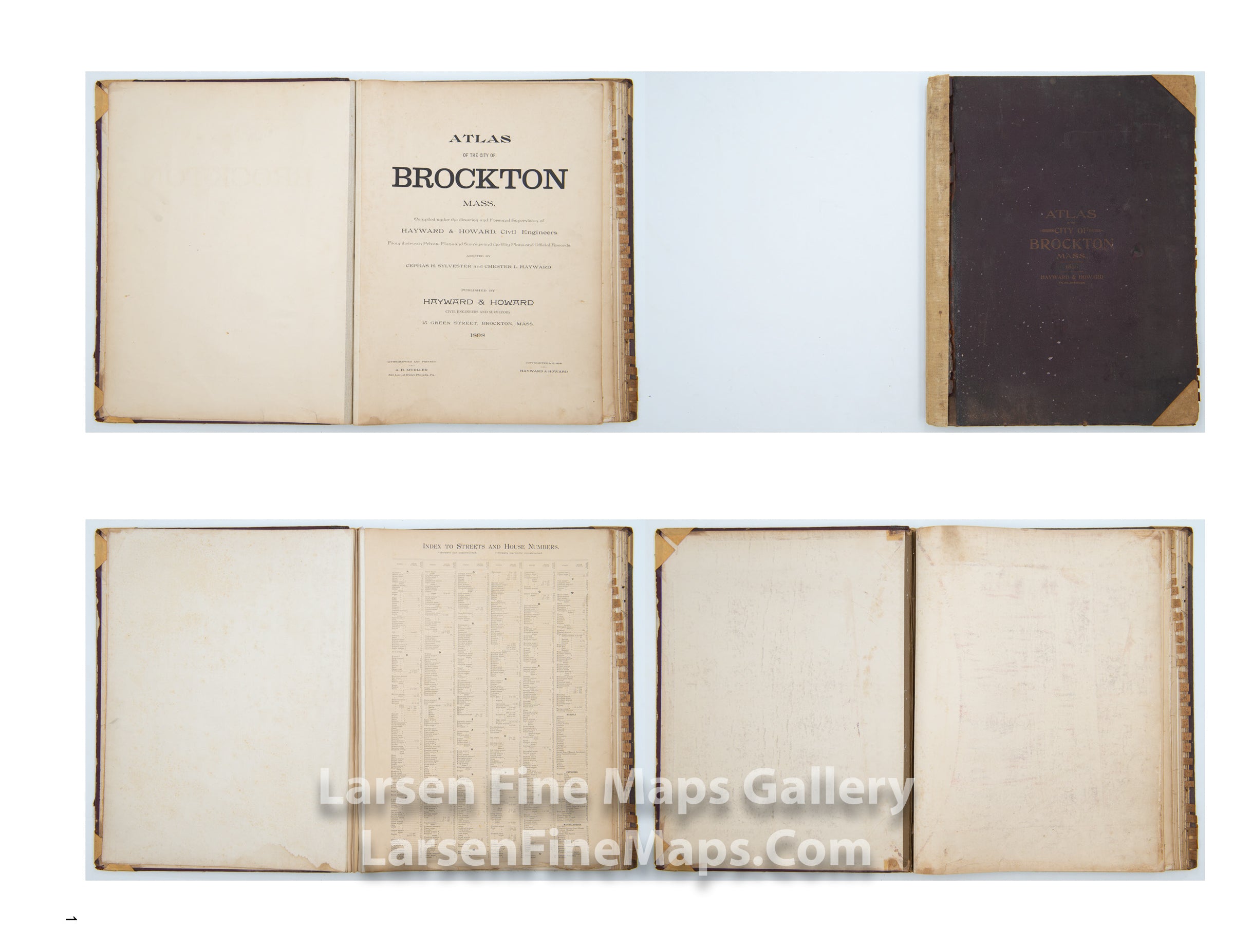
YEAR PUBLISHED: 1898
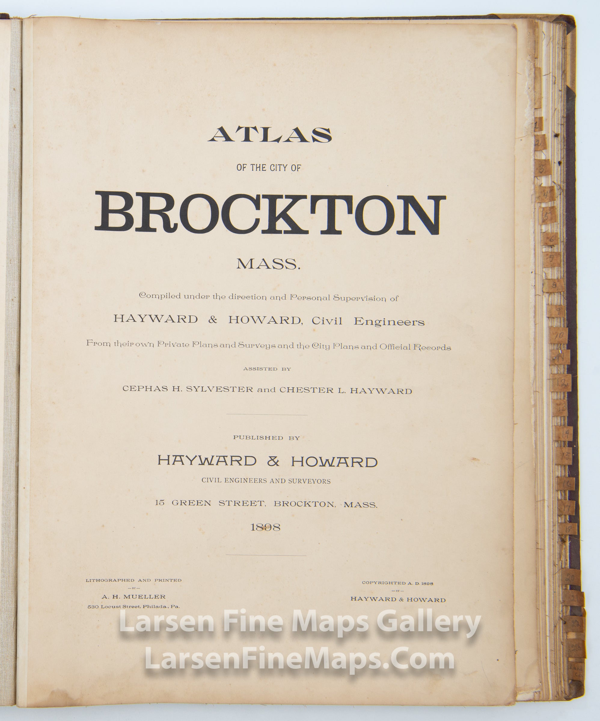
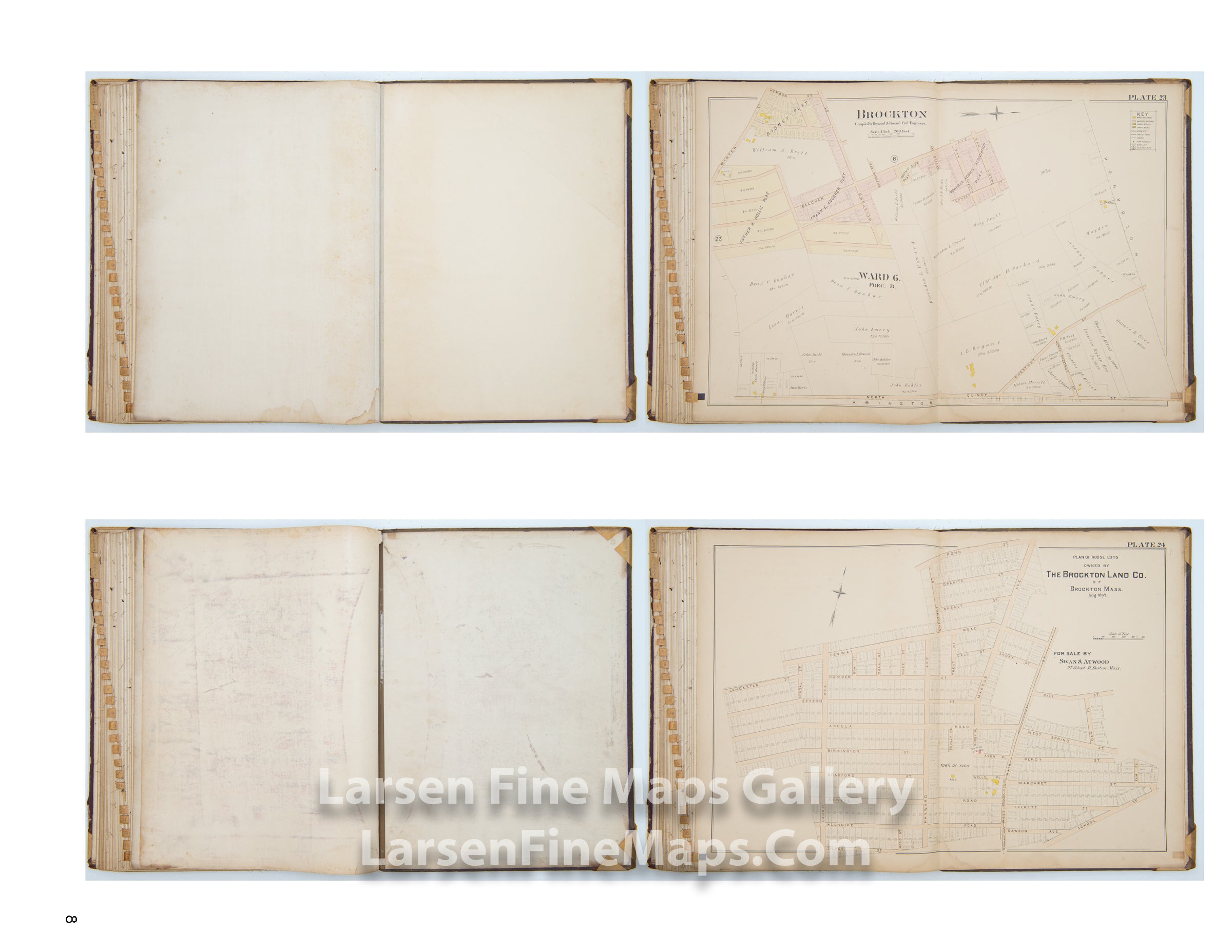
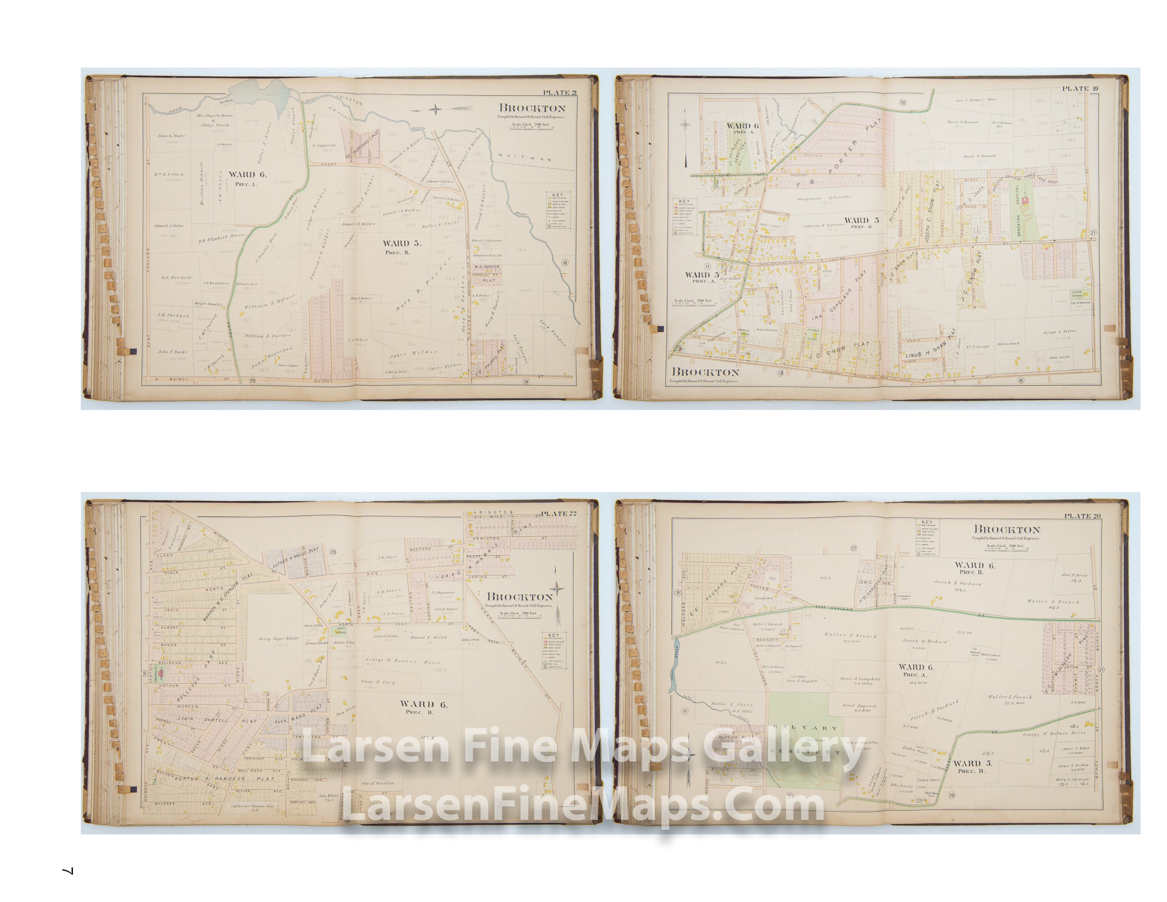
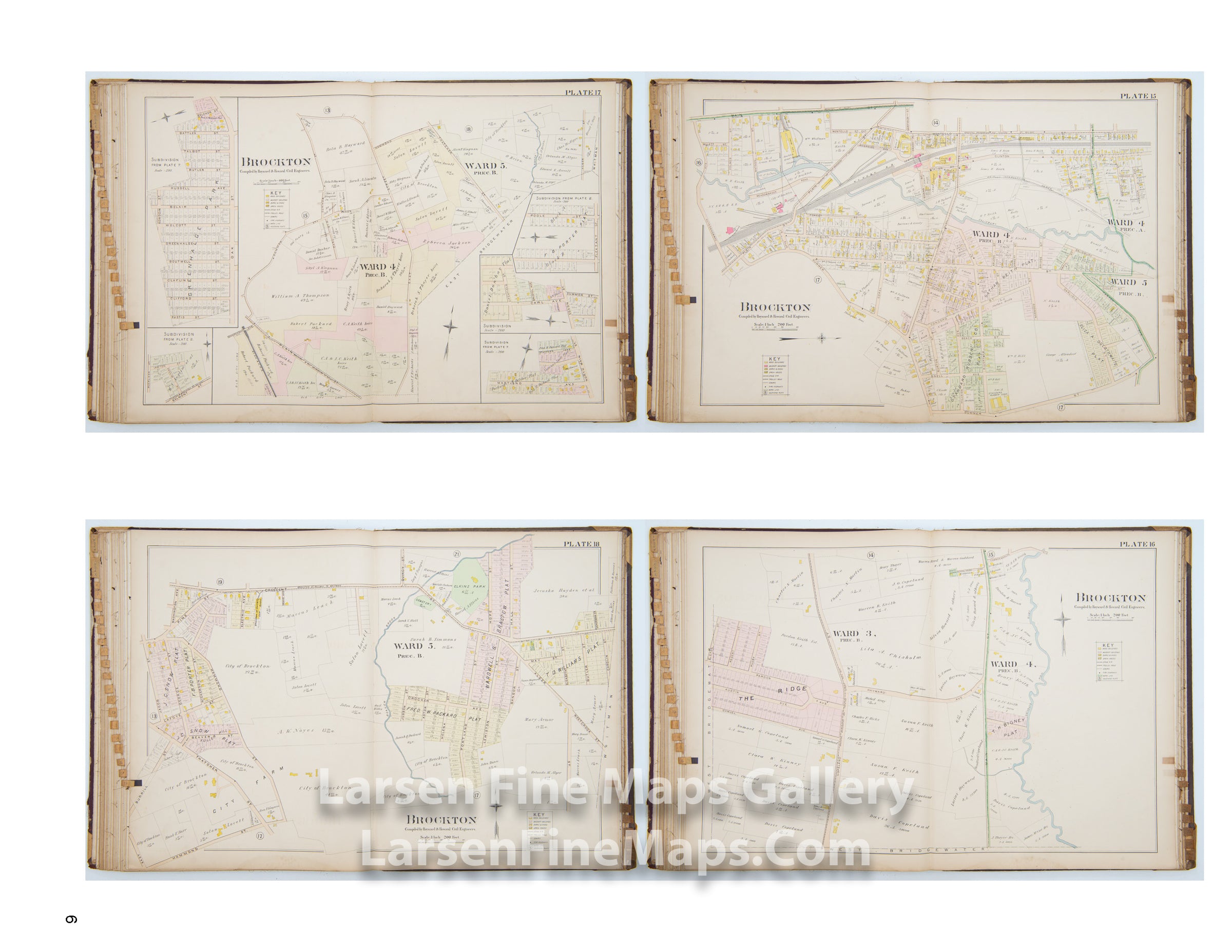
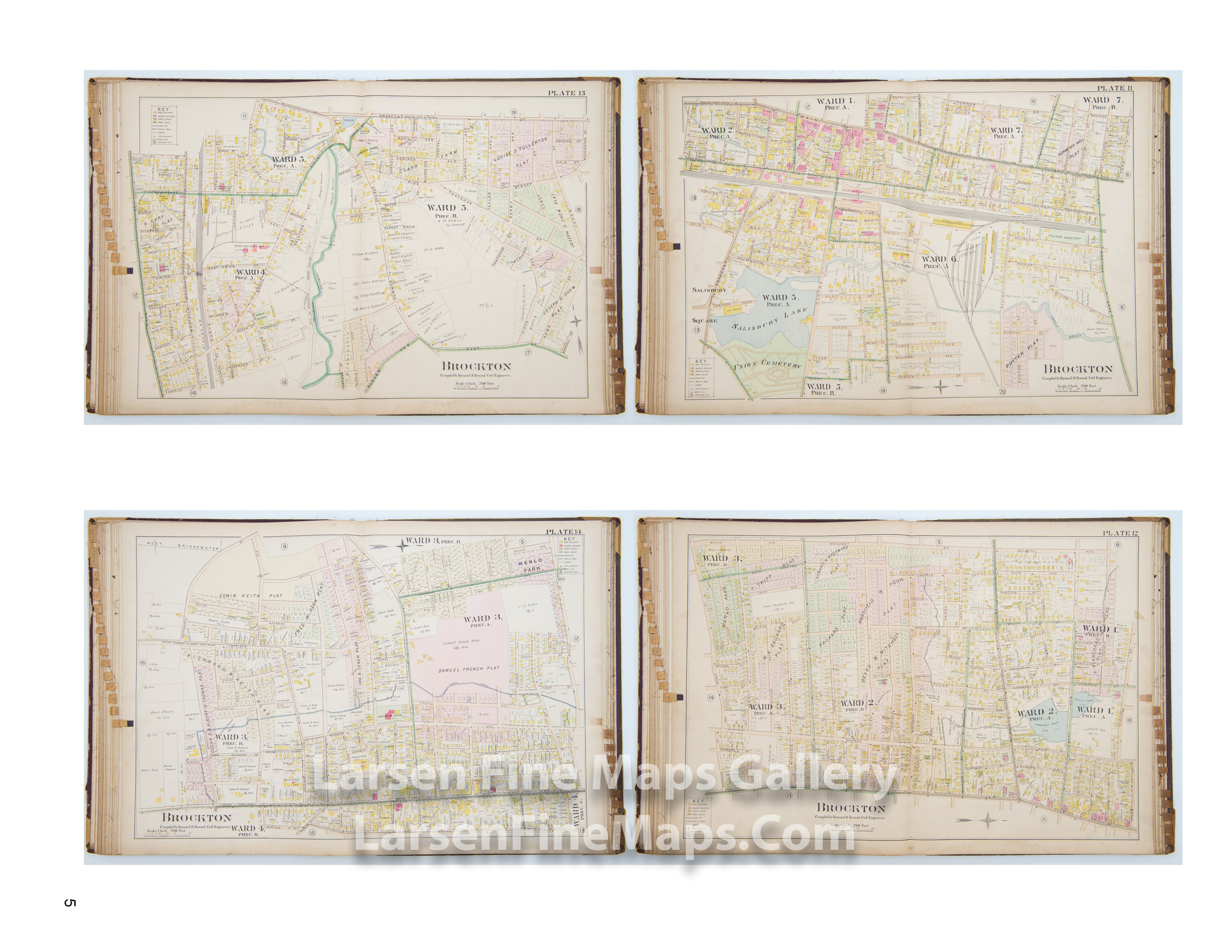
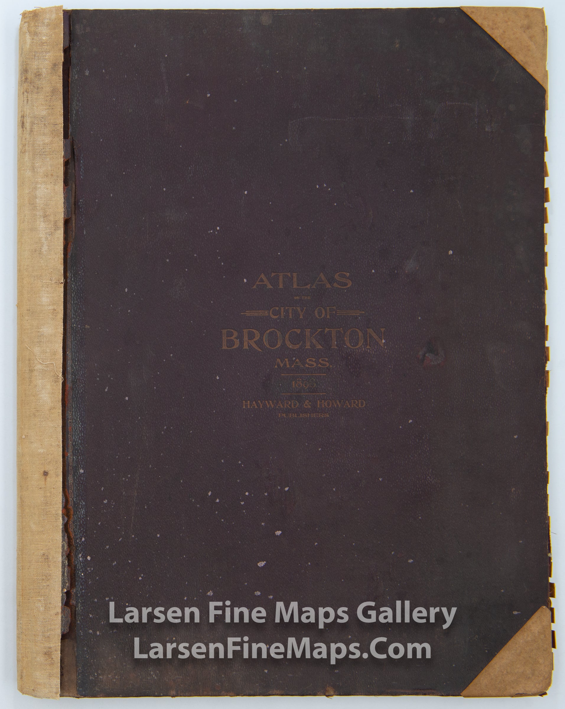
Atlas of The City of Brockton Mass. Compiled under the direction and personal supervision of Hayward & Howard, Civil Engineers from their own Private Plans and Surveys and the City Plans and Official Records.
DESCRIPTION
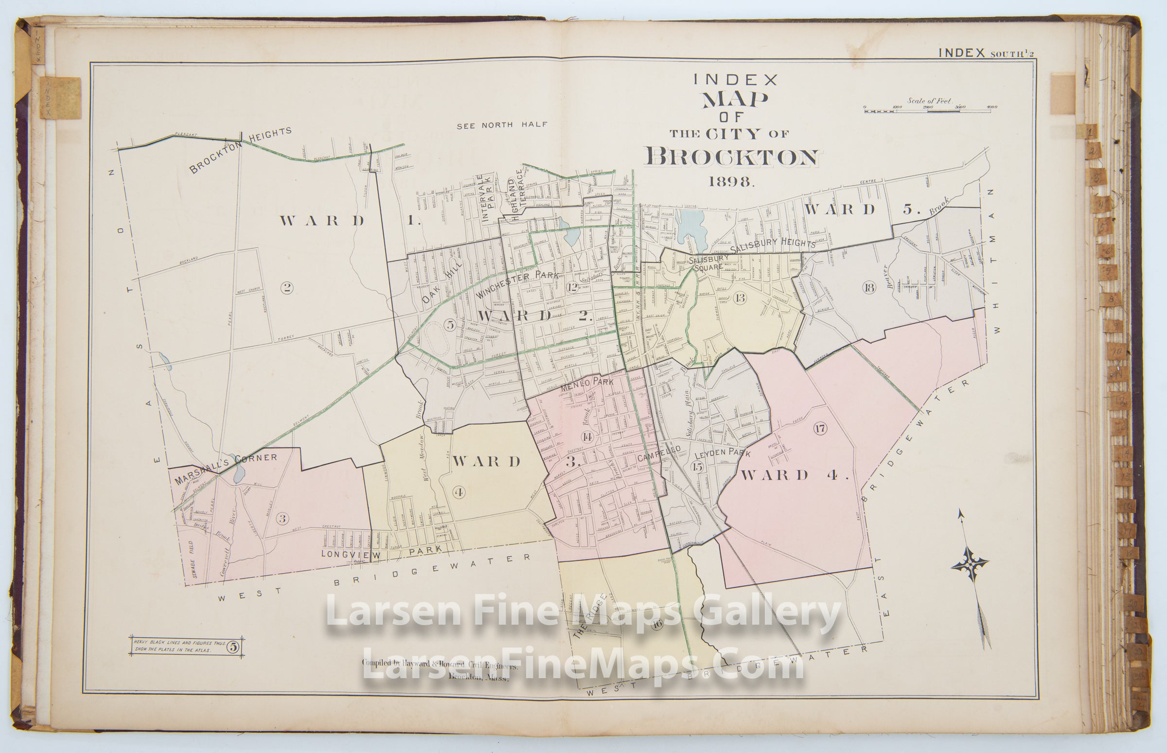
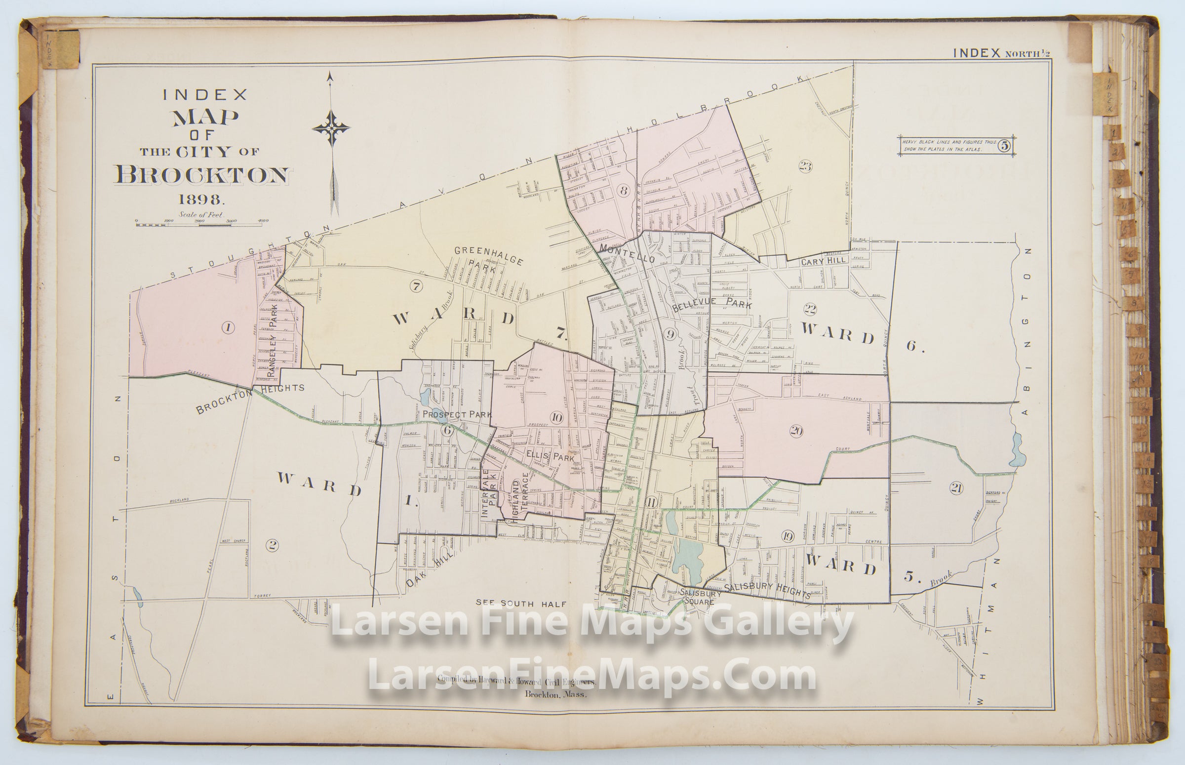
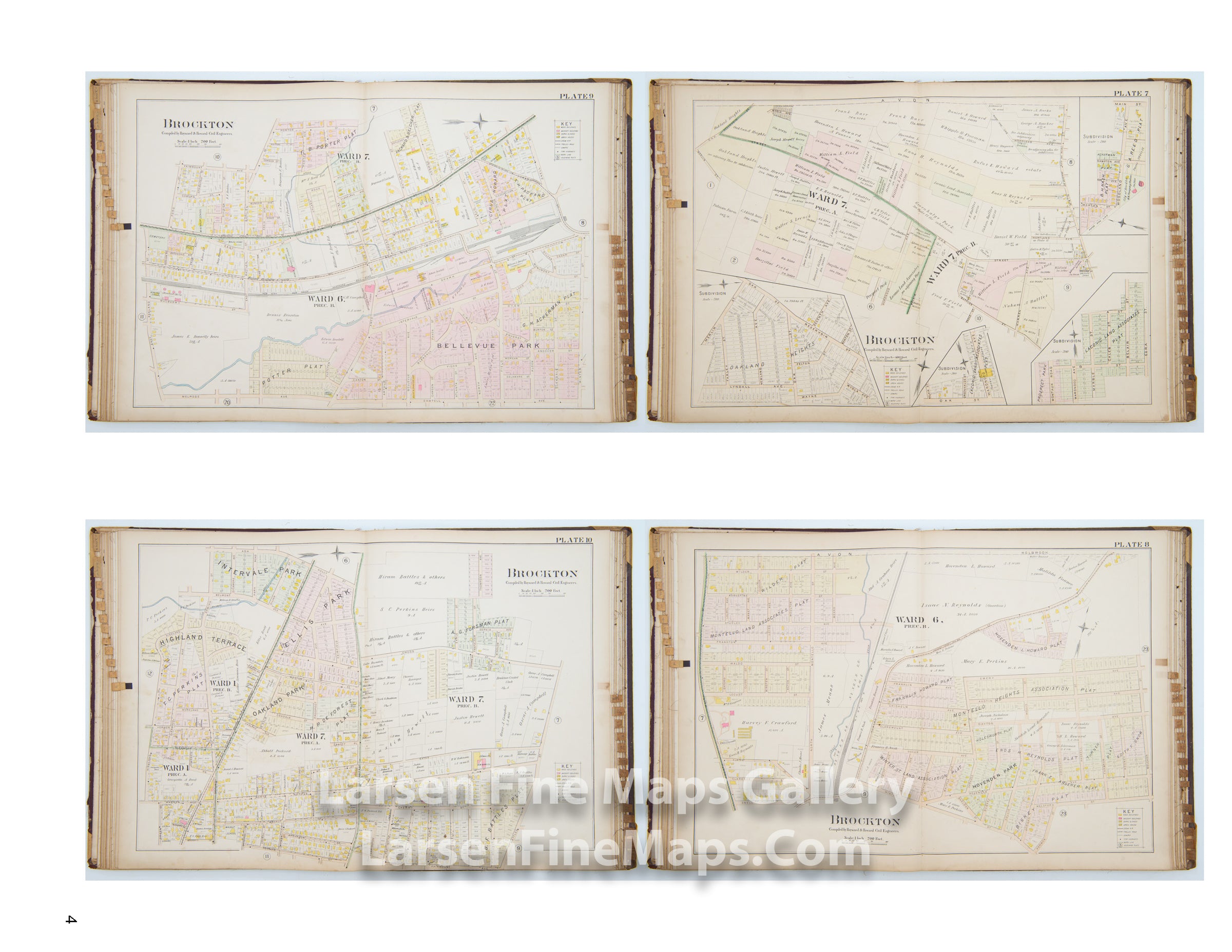
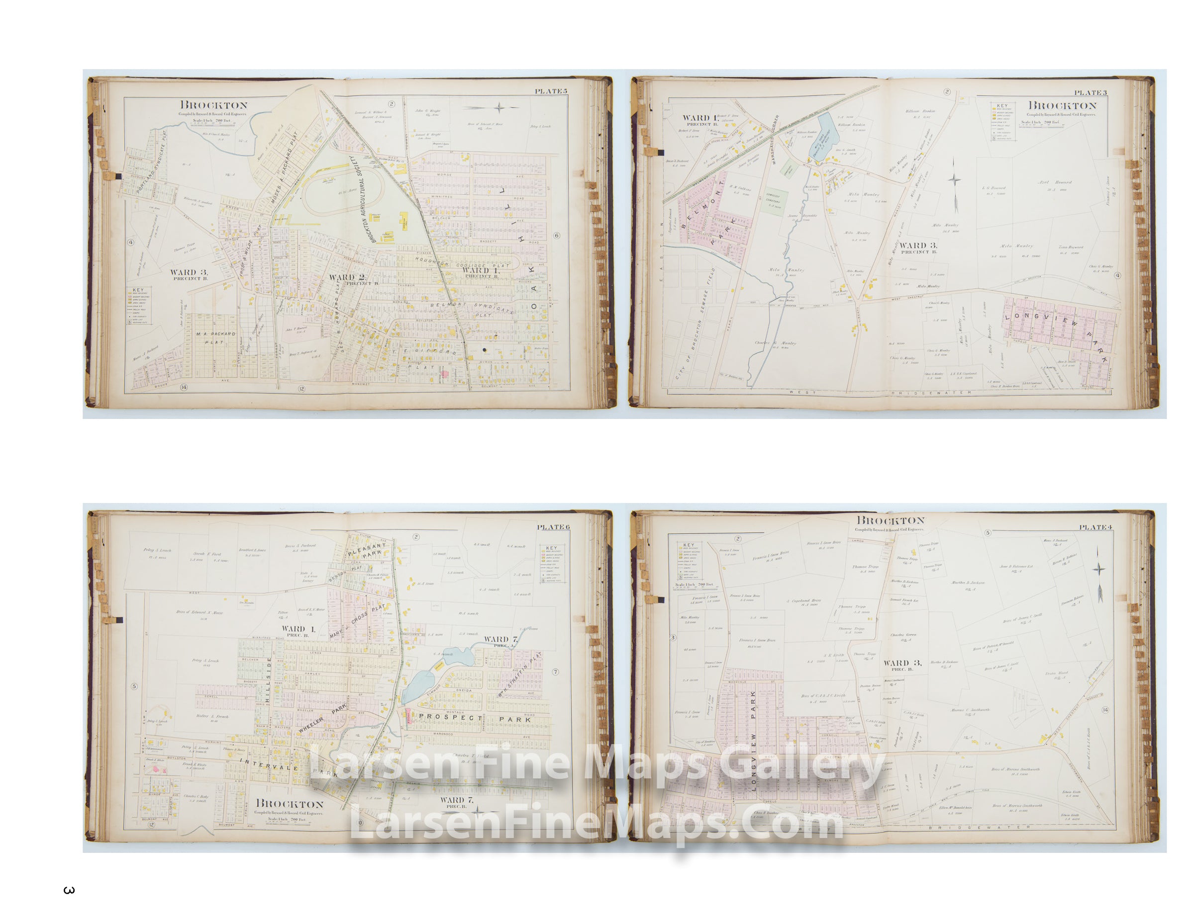
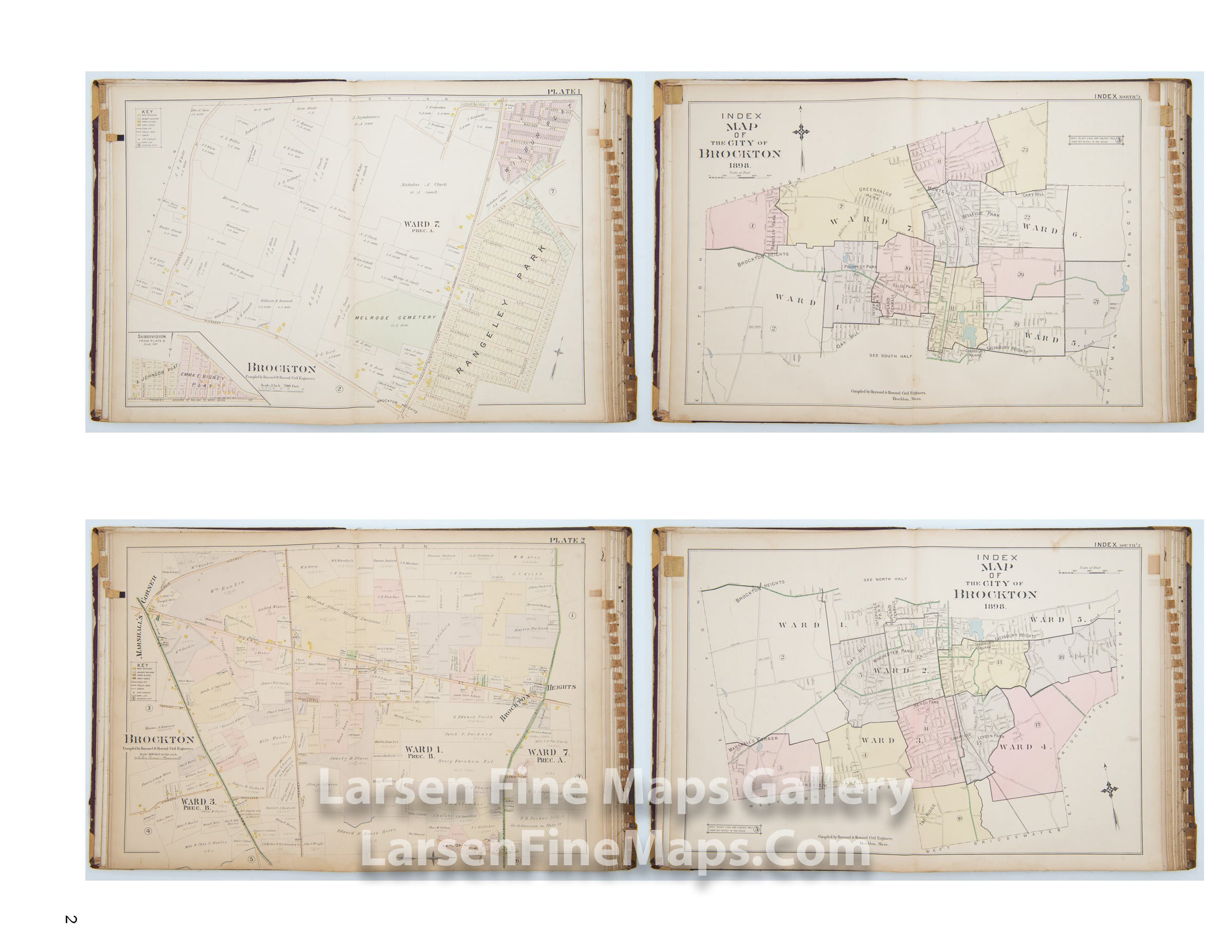
This atlas is a highly detailed and fascinating complete atlas of the City of Brockton, Massachusetts. All of the map pages are backed in linen and are in excellent condition (typically, these atlases fall apart with torn maps, missing pieces, etc.). The maps show properties, acreages, some property dimensions, plat maps, wards, subdivisions, owner names, public lands, hospitals, schools, railroads, roads, some buildings, water features, and other miscellaneous items of interest. There are two index maps at the beginning, and all map pages are tabbed. This atlas is a lovely piece of the history of the city.
FULL TITLE
MAPMAKER/CARTOGRAPHER/AUTHOR
PUBLISHER
PUBLICATION
DIMENSIONS (Inches)
CONDITION
Choose options

DESCRIPTION
FULL TITLE
MAPMAKER/CARTOGRAPHER/AUTHOR
PUBLISHER
PUBLICATION
DIMENSIONS (Inches)
CONDITION
DESCRIPTION
FULL TITLE
MAPMAKER/CARTOGRAPHER/AUTHOR
PUBLISHER
PUBLICATION
DIMENSIONS (Inches)
CONDITION