YEAR PUBLISHED: 1853
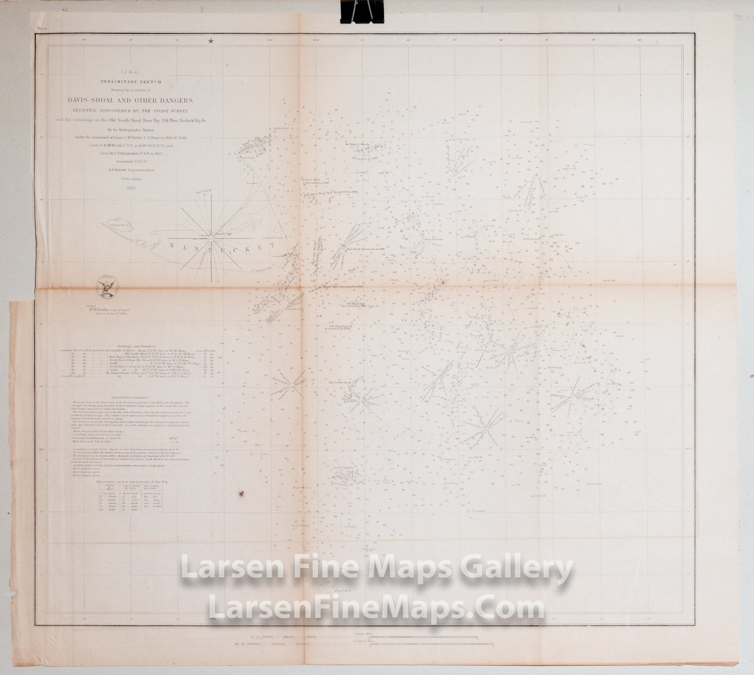
Preliminary Sketch Showing the Positions of DavisÕs South Shoal and Other Dangers Recently Discovered by The Coast Survey and the soundings on the Old South Shoal, Bass Rip, Old Man, Pochick Rip, &c.
DESCRIPTION
Chart of Davis’s South Shoal and Other Dangers Recently Discovered by The Coast Survey and the soundings on the Old South Shoal, Bass Rip, Old Man, Pochick Rip etc. The chart maps the various rocks and shoals in the are including may bearings assoiciated with each. Depths shown by gradient tints and soundings.
Interesting discoveries on map. 1846-1851. Includes bearings, distances, tides and tidal currents, and bottom types.
Massachusetts, Nantucket Shoals
This variant has the Coast Survey Office Emblem shown on the map.
FULL TITLE
MAPMAKER/CARTOGRAPHER/AUTHOR
PUBLISHER
PUBLICATION
DIMENSIONS (Inches)
CONDITION
Choose options

DESCRIPTION
FULL TITLE
MAPMAKER/CARTOGRAPHER/AUTHOR
PUBLISHER
PUBLICATION
DIMENSIONS (Inches)
CONDITION
DESCRIPTION
FULL TITLE
MAPMAKER/CARTOGRAPHER/AUTHOR
PUBLISHER
PUBLICATION
DIMENSIONS (Inches)
CONDITION