YEAR PUBLISHED: 1839
Maps to Voyage of the Adventure & Beagle
DESCRIPTION
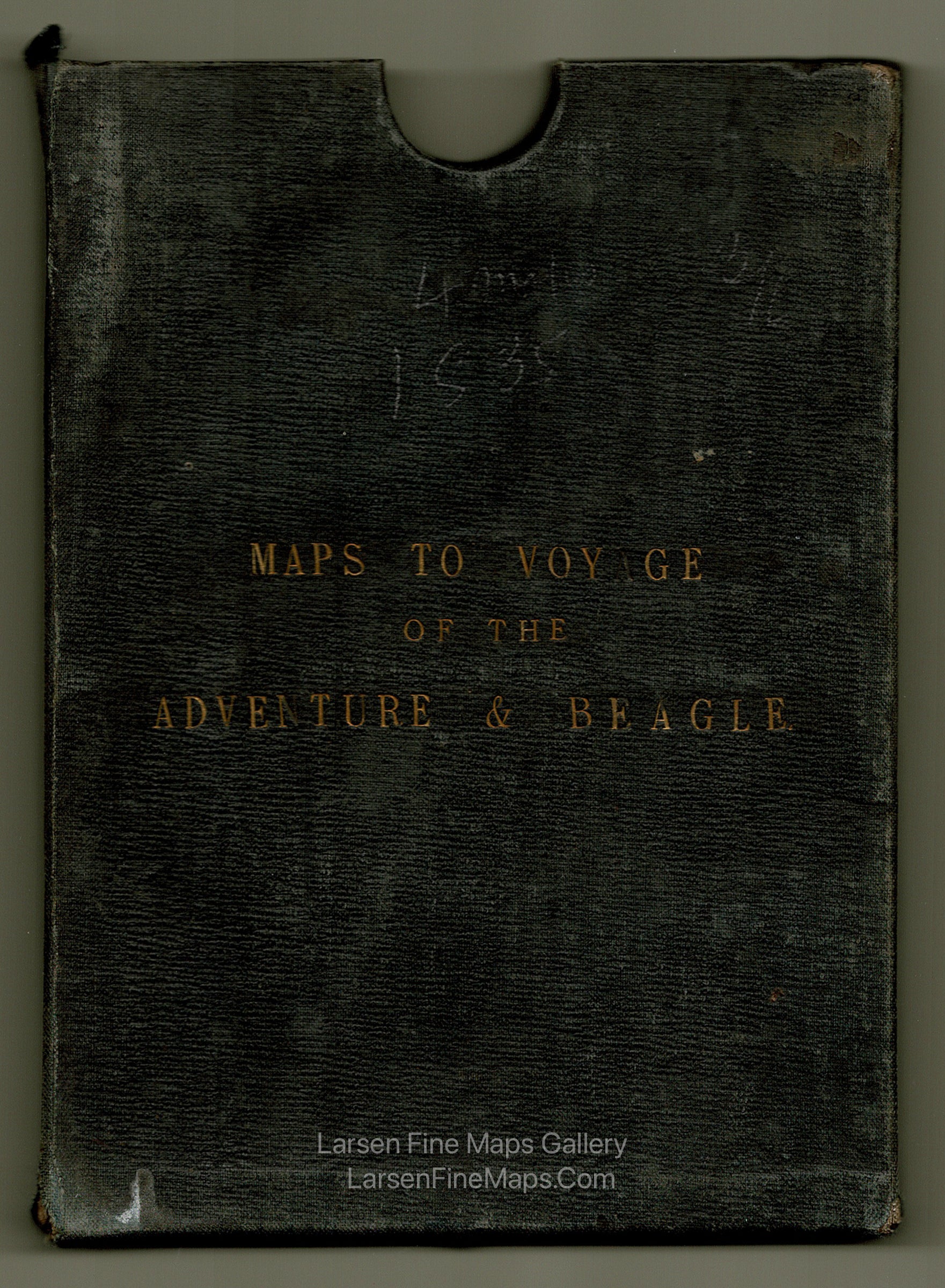
Maps to Voyage of the Adventure & Beagle case with 4 maps. This is from the Narrative of the Surveying Voyages of His Majesty's Ships Adventure and Beagle, between the Years 1826 and 1836, Describing their Examination of the Southern Shores of South America, and the Beagle's Circumnavigation of the Globe.
The full original set is comprised of 8 maps. These are 4 of the 8.
The 4 Maps Included are:
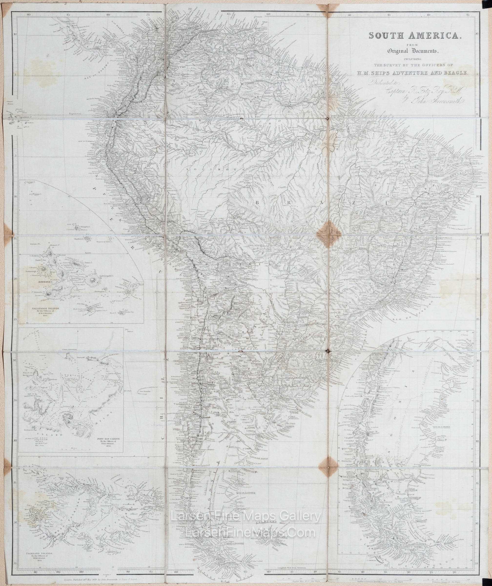
1) South America. From Original Documents, including The survey by the officers of H.M. Ships Adventure and Beagle. Dedicated to Captain R. Fitz Roy, R.N., by J. Arrowsmith
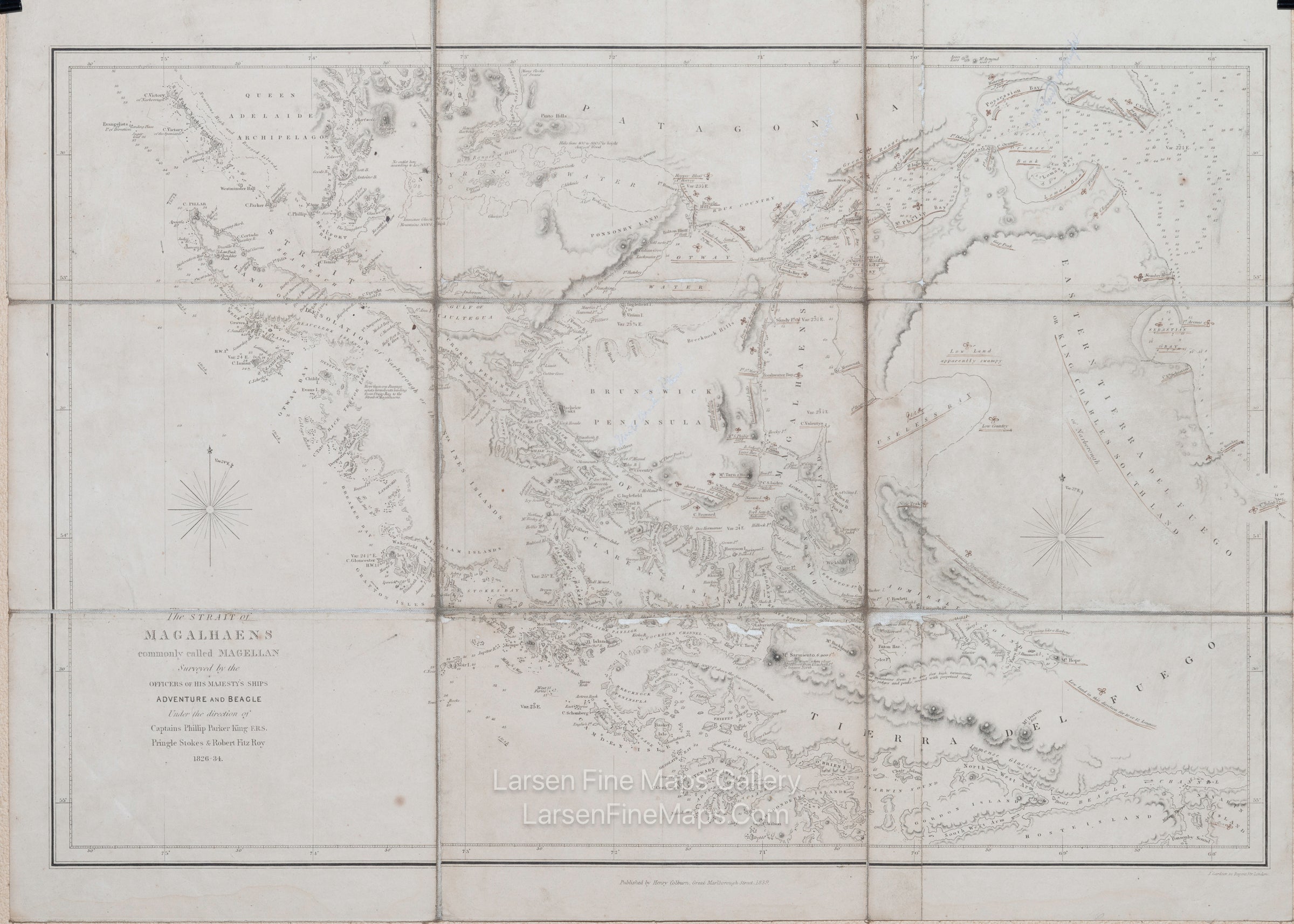
2) The Strait of Magalhaens, commonly called Magellan Surveyed by the Officers of His Majesty's Ships Adventure and Beagle
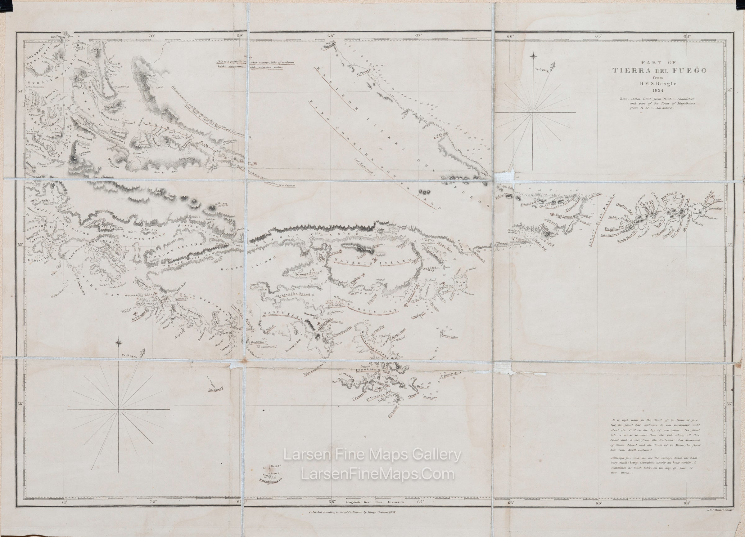
3) Part of Tierra Del Fuego from H.M.S. Beagle 1834
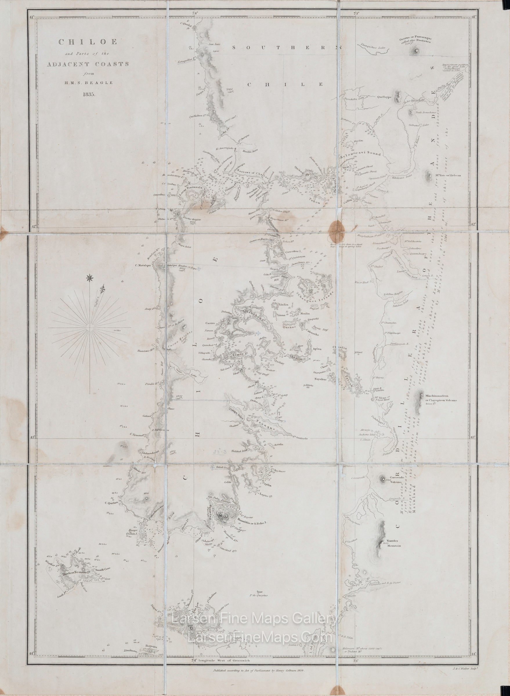
4) Chiloe and Parts of the Adjacent Coasts from H.M.S. Beagle 1834
The 4 missing maps are:
5) Southern Portion of South America
6) Keeling Islands H.M.S. Beagle 1836
7) Dangerous Archipelago of the Paamuto or Low Islands by Admiral Krusenstern 1837 with additions by Robert Fitz-Roy 1838
8) General Chart shewing the Principal Tracks of H.M.S. Beagle 1831 - 6
FULL TITLE
MAPMAKER/CARTOGRAPHER/AUTHOR
PUBLISHER
PUBLICATION
DIMENSIONS (Inches)
CONDITION
Choose options
DESCRIPTION
FULL TITLE
MAPMAKER/CARTOGRAPHER/AUTHOR
PUBLISHER
PUBLICATION
DIMENSIONS (Inches)
CONDITION
DESCRIPTION
FULL TITLE
MAPMAKER/CARTOGRAPHER/AUTHOR
PUBLISHER
PUBLICATION
DIMENSIONS (Inches)
CONDITION