YEAR PUBLISHED: 1845
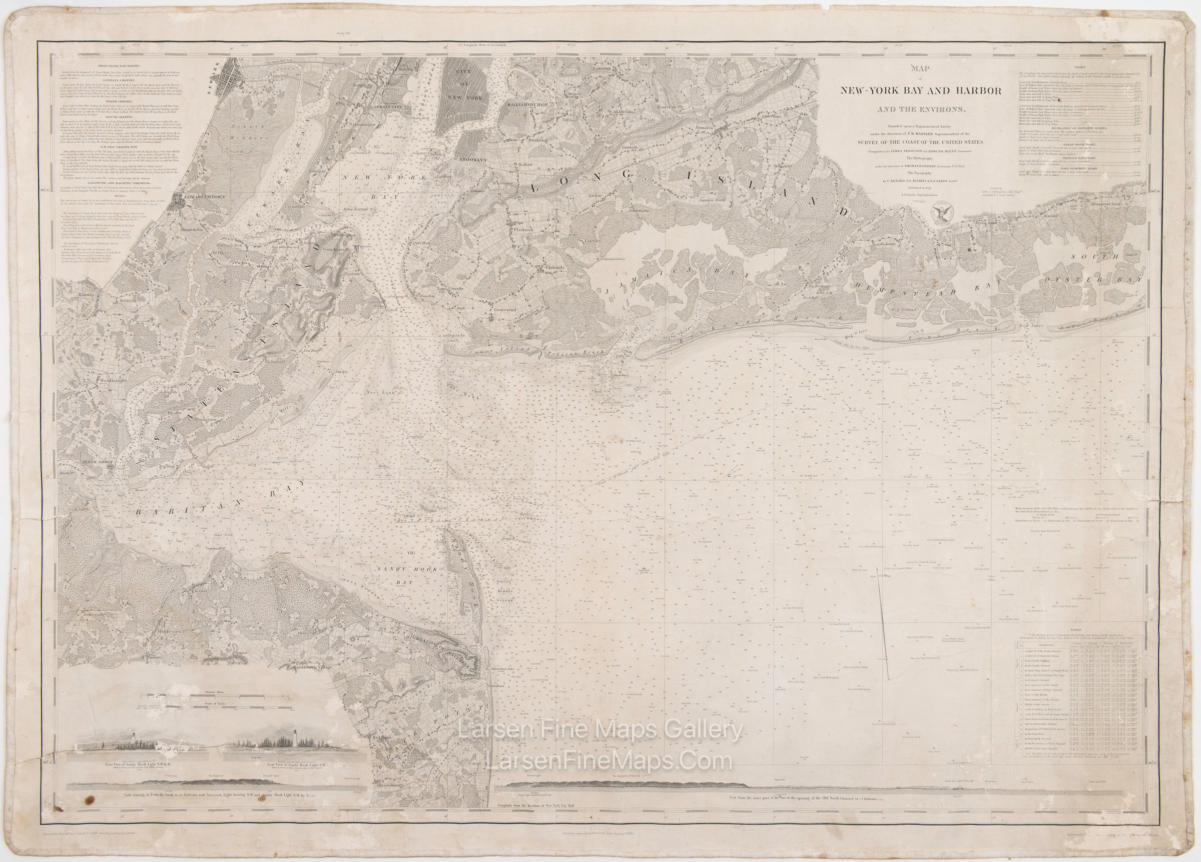
Map of New York Bay and Harbor and The Environs.
DESCRIPTION
A striking nautical chart of New York Bay and Harbor. This is a separately issued electrotype edition on thick paper and linen backed. The chart shows great inland detail and topography with towns, farms, buildings, place names, water features, cities, roads, and vegetation depicted. Many aids to navigation are also shown with lighthouse locations, tides, currents, and hidden dangers. Sailing directions for various channels and routes are given in detail. Soundings are demonstrated extensively as well.
Long Island, Staten Island, Raritan Bay, Sandy Hook, Black Point, City of New York, Newark, Elizabethtown, and Brooklyn are shown.
Several elevation views of lighthouses and approaches are depicted in the lower left and bottom of the map.
FULL TITLE
MAPMAKER/CARTOGRAPHER/AUTHOR
PUBLISHER
PUBLICATION
DIMENSIONS (Inches)
CONDITION
Choose options
DESCRIPTION
FULL TITLE
MAPMAKER/CARTOGRAPHER/AUTHOR
PUBLISHER
PUBLICATION
DIMENSIONS (Inches)
CONDITION
DESCRIPTION
FULL TITLE
MAPMAKER/CARTOGRAPHER/AUTHOR
PUBLISHER
PUBLICATION
DIMENSIONS (Inches)
CONDITION