

YEAR PUBLISHED: 1664
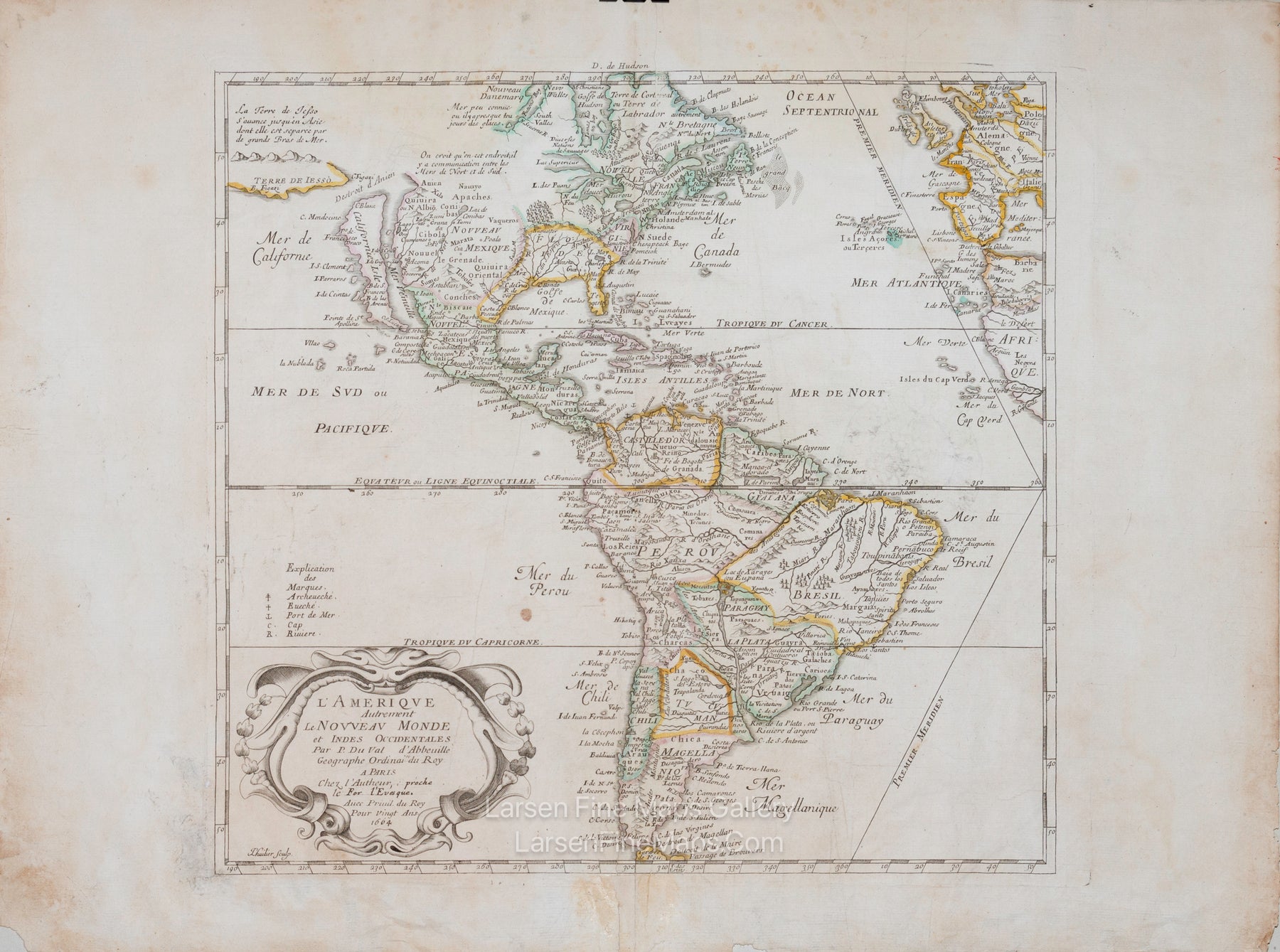
L'Amerique autrement le Nouveau Monde et Indes Occidentales. Par P. du Val Geographe du Roy
DESCRIPTION
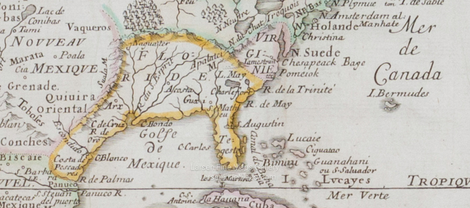
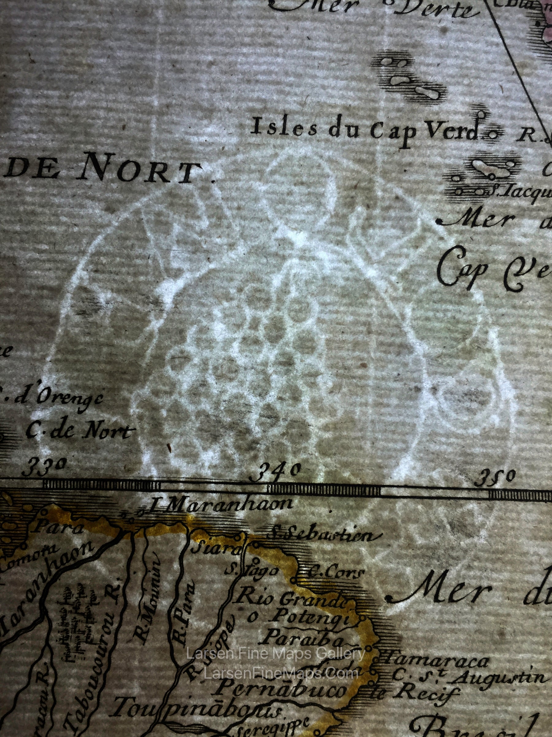
A striking and seemingly unknown state of Du Val’s map of the Americas based largely on the cartography of Nicolas Sanson. According to Burden #311, three states of the map were produced with the 1664 date. This map would appear to be State 4 but it lacks the addition of “La Caroline”, so would therefore precede State 4, but succeed State 3. In North America, the Great Lakes are shown open-ended in the west, and California is depicted as an Island. Above California is the Destroit d' Anien and the large Terre de Iesso, or land of Jesso. Floride is highlighted in the southeast. South America shows great detail, including Destroit de Magellan and Mer Magellanique. The map includes the western coasts of Europe and Africa, and a landmass appears at the bottom right labeled Partie de la grande Terre Australe. A title cartouche is in the lower left corner.
FULL TITLE
MAPMAKER/CARTOGRAPHER/AUTHOR
PUBLISHER
PUBLICATION
DIMENSIONS (Inches)
CONDITION
