

YEAR PUBLISHED:1763
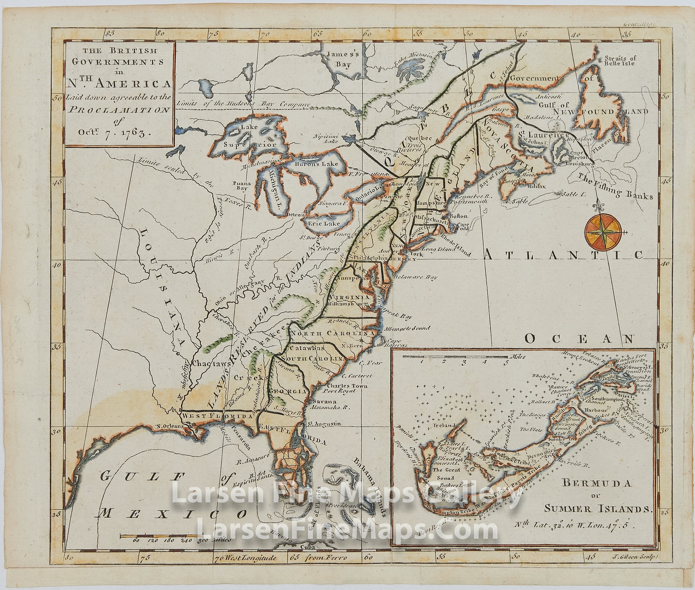
The British Governments in N'th America, Laid down agreeable to the Proclamation of Oct. 7th 1763
DESCRIPTION
A striking and Important map illustrating the new boundaries established at the end of the French and Indian War with England taking possession of the former French and Spanish Settlements in Canada and Florida. The map extends from the east coast of Newfoundland to East and West Florida, the Bahamas, and inland including the Great Lakes and French Louisiana. Also depicted are the boundary line indicating the limits of the Hudson's Bay Company, an etching of the fishing banks off Nova Scotia, and a large "Lands Reserved for the Indians" west of the Appalachians. Florida is divided into West and East indicating a territorial dispute with Spain from the ambiguities of the Louisiana Purchase. An inset map depicts Bermuda or Summer Islands.
Map of the East coast of North America, with an inset map of Bermuda Island. Prime Meridian is based in Ferro. Each map has its own scale bar, both in Miles. The main map has Stateline's shown for the majority of the Eastern States.
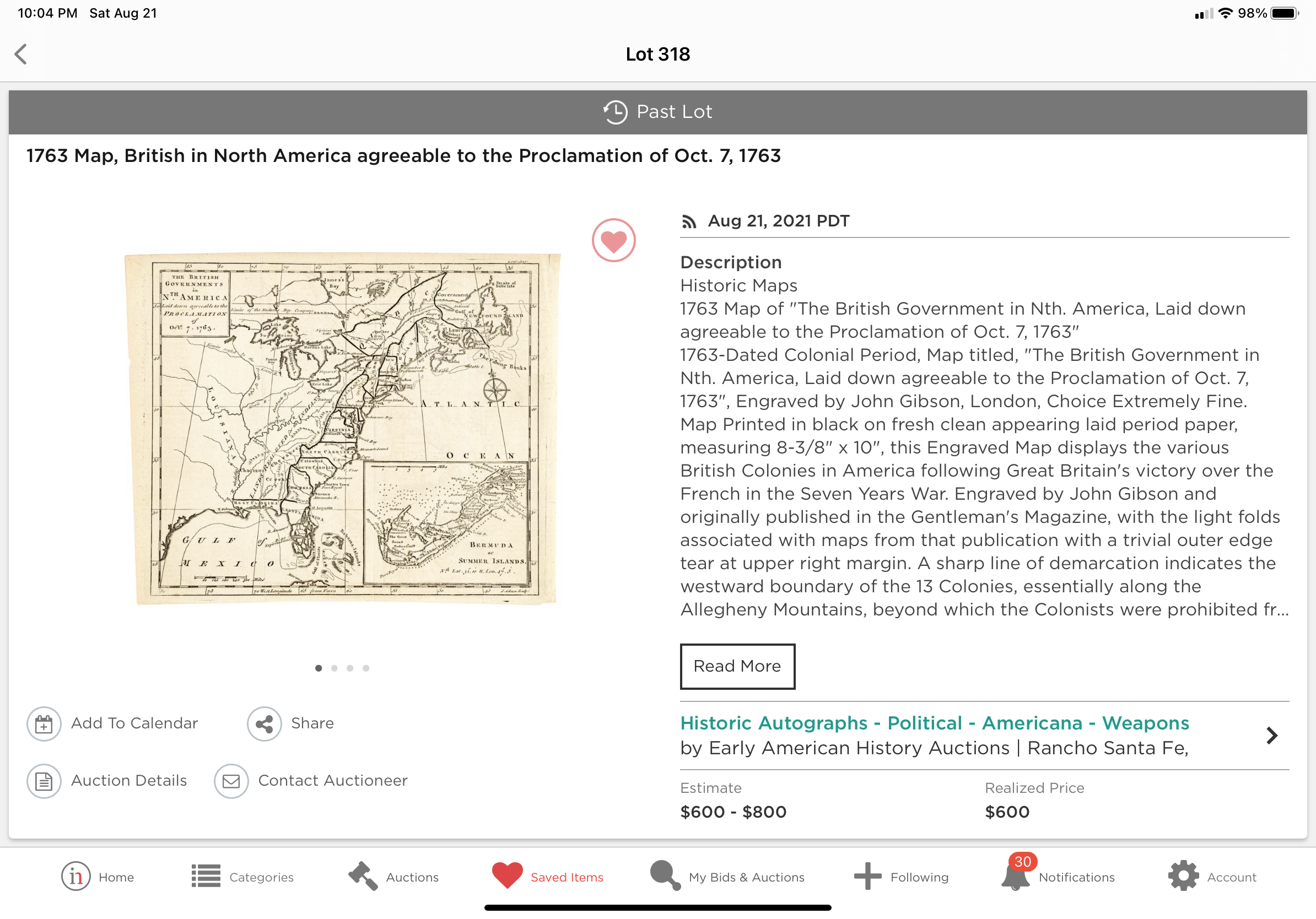
See screen shot showing comparable map sold for $600 + $120 buyers premium today, 8-21-21.
FULL TITLE
MAPMAKER/CARTOGRAPHER/AUTHOR
PUBLISHER
PUBLICATION
DIMENSIONS (Inches)
CONDITION
Choose options

DESCRIPTION
FULL TITLE
MAPMAKER/CARTOGRAPHER/AUTHOR
PUBLISHER
PUBLICATION
DIMENSIONS (Inches)
CONDITION
DESCRIPTION
FULL TITLE
MAPMAKER/CARTOGRAPHER/AUTHOR
PUBLISHER
PUBLICATION
DIMENSIONS (Inches)
CONDITION