YEAR PUBLISHED: 1854
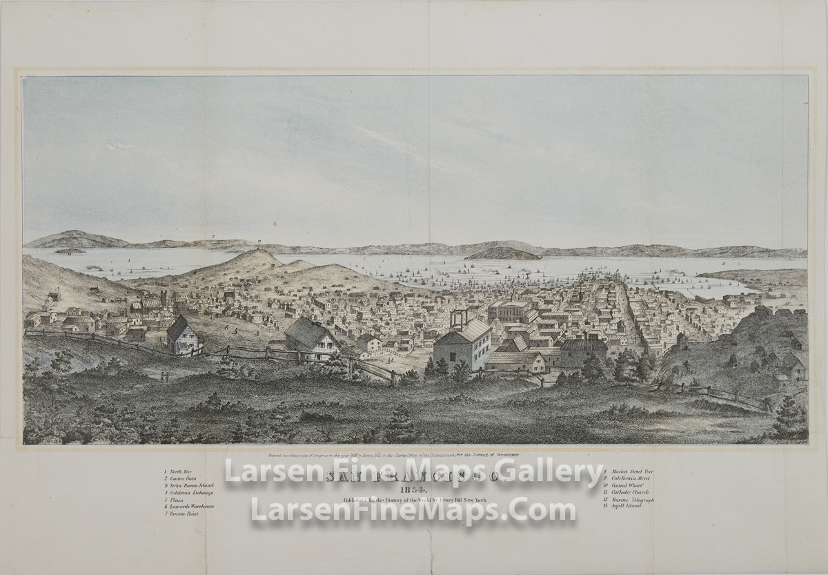
San Francisco. 1854. Published for the History of the World by Henry Bill New York
DESCRIPTION
A superbly detailed bird's-eye view map of San Francisco as it was in 1854. The perspective shows San Francisco as viewed from Nob Hill looking towards California Street. Telegraph Hill appears on the left. The view shows the many buildings and relatively rural nature of the scene along with ships anchored in the bay. The significant buildings are identified via the key legend and numbered 1-13 in the title block. Included are North Bay, Contra Costa, Yerba Buena Island, the California Exchange, Plaza, Leanard's Warehouse, Rincon Point, Market Street Pier, California Street, Central Wharf, Catholic Church, Marine Telegraph, and Anjill Island. Published for Henry Bill's 1854 edition of his History of the World.
This print has been professionally cleaned, deacidified, flattened and backed with Japanese Tissue. The small tear at the center bottom has been repaired as part of this process.
FULL TITLE
MAPMAKER/CARTOGRAPHER/AUTHOR
PUBLISHER
PUBLICATION
DIMENSIONS (Inches)
CONDITION
Choose options

DESCRIPTION
FULL TITLE
MAPMAKER/CARTOGRAPHER/AUTHOR
PUBLISHER
PUBLICATION
DIMENSIONS (Inches)
CONDITION
DESCRIPTION
FULL TITLE
MAPMAKER/CARTOGRAPHER/AUTHOR
PUBLISHER
PUBLICATION
DIMENSIONS (Inches)
CONDITION