YEAR PUBLISHED: 1708
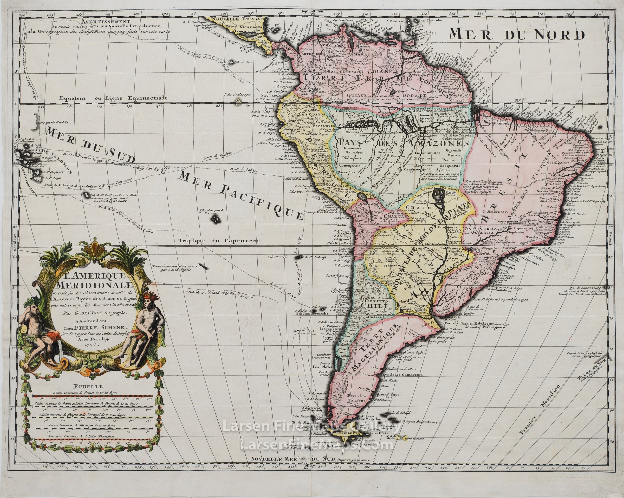
L'Amerique Meridionale
DESCRIPTION
A hand-colored, decorative, and detailed map of South America with relief shown pictorially. Includes a fair amount of details along the Amazon and the Rio de la Plata, many of which are conjectures. Ports and coastal regions are extensively shown, with much of the interior in Terre Magellanique, Bresil, Pays Des Amazons, and Provinces De Rio De La Plata less detailed. Includes routes of 16th & 17th-century explorers, including Drake, Schouten, Magellan, Mendana, Olivier, Stirnaento, and others. The Salomon Islands are on the western margin of the map. This map includes a series of scale bars below the decorative title cartouche (scale bars are curiously rare on older maps).
The map was initially mounted on paper backing with linen tape at verso edges. Hand-colored when acquired. It has now been professionally cleaned, deacidified, linen removed, backing paper released, and backed with new Japanese tissue.
The map was initially mounted on paper backing with linen tape at verso edges. Hand-colored when acquired. It has now been professionally cleaned, deacidified, linen removed, backing paper released, and backed with new Japanese tissue.
FULL TITLE
MAPMAKER/CARTOGRAPHER/AUTHOR
PUBLISHER
PUBLICATION
DIMENSIONS (Inches)
CONDITION
Choose options
DESCRIPTION
FULL TITLE
MAPMAKER/CARTOGRAPHER/AUTHOR
PUBLISHER
PUBLICATION
DIMENSIONS (Inches)
CONDITION
DESCRIPTION
FULL TITLE
MAPMAKER/CARTOGRAPHER/AUTHOR
PUBLISHER
PUBLICATION
DIMENSIONS (Inches)
CONDITION