
YEAR PUBLISHED: 1933
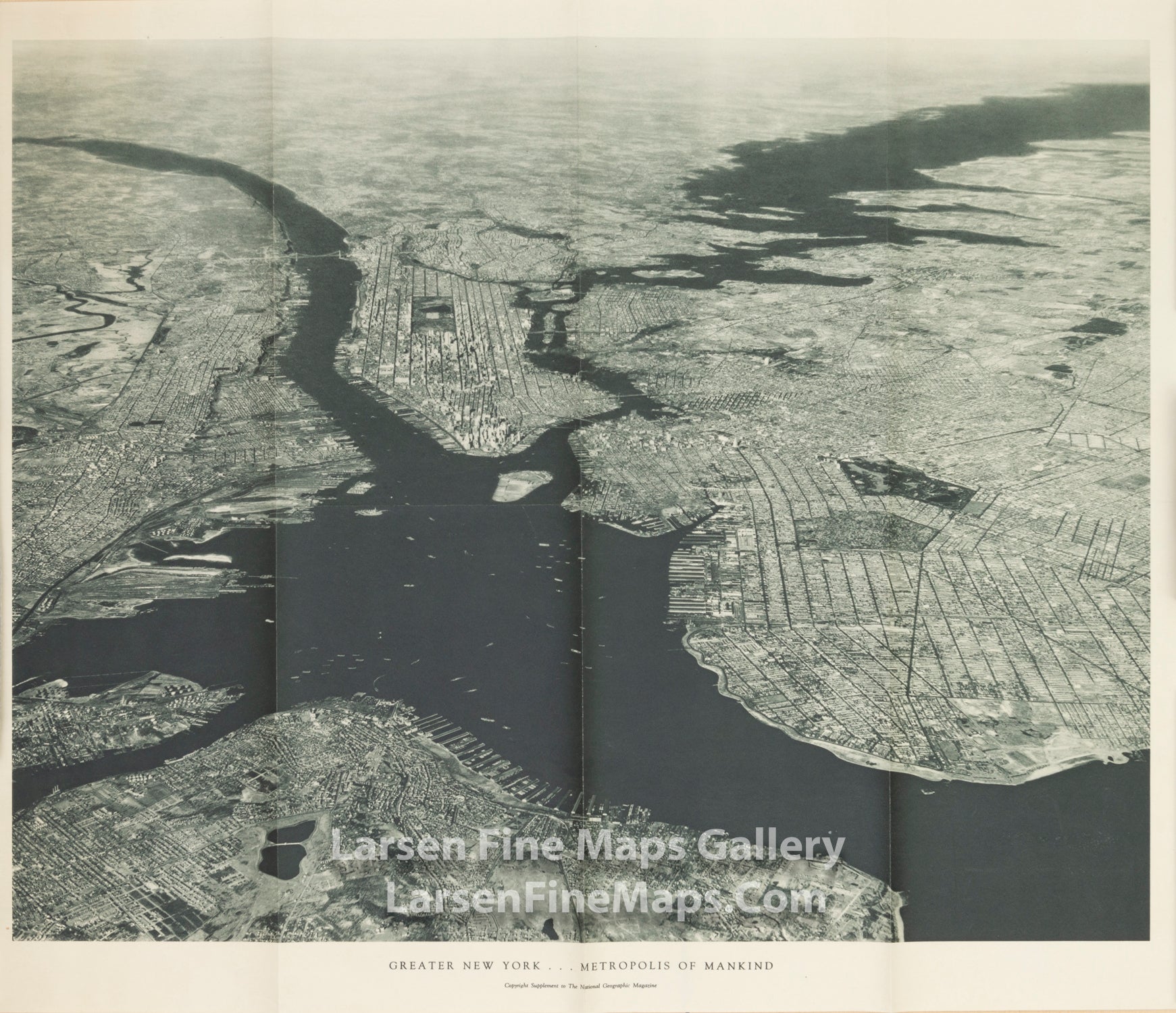
Greater New York - Metropolis of Mankind
DESCRIPTION
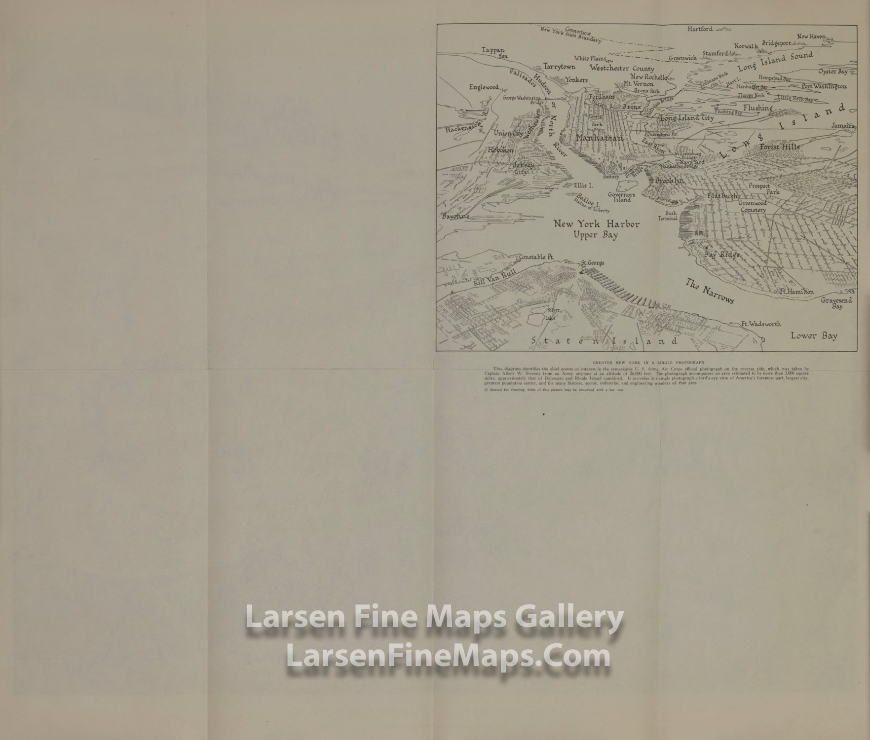
From the verso key index map:
"Greater New York in a Single Photograph -- This diagram identifies the chief points of interest in the remarkable U.S. Army Air Corps official photograph on the reverse side, which was taken by Captain Albert W. Stevens from an Army airplane at an altitude of 26,000 feet. The photograph encompasses an area estimated to be more than 3,000 square miles, approximately that of Delaware and Rhode Island combined. It provides in a single photograph a bird's-eye view of America's foremost port, largest city, greatest population center, and the many historic, scenic, industrial, and engineering wonders of that area."
"If desired for framing, folds of this picture may be smoothed with a hot iron."
FULL TITLE
MAPMAKER/CARTOGRAPHER/AUTHOR
PUBLISHER
PUBLICATION
DIMENSIONS (Inches)
CONDITION
Choose options
DESCRIPTION
FULL TITLE
MAPMAKER/CARTOGRAPHER/AUTHOR
PUBLISHER
PUBLICATION
DIMENSIONS (Inches)
CONDITION
DESCRIPTION
FULL TITLE
MAPMAKER/CARTOGRAPHER/AUTHOR
PUBLISHER
PUBLICATION
DIMENSIONS (Inches)
CONDITION