YEAR PUBLISHED: 1928
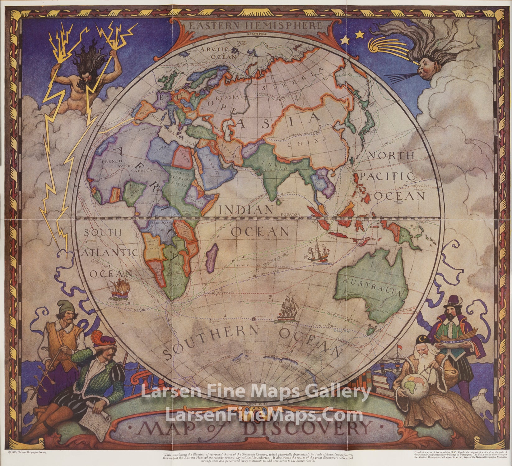
Eastern Hemisphere Map of Discovery
DESCRIPTION
In 1927, famed American painter N. C. Wyeth completed a series of five murals for Hubbard Memorial Hall, the National Geographic Society's first formal library. The Map of Discovery: Western Hemisphere, published in January 1929, is one of those outstanding murals. It features Poseidon and a mermaid keeping watch over the oceans as well as the routes of explorers and dates of expeditions.
While simulating the illuminated mariners' charts of the Sixteenth Century, which partially dramatized the deeds of dauntless explorers, the map of the Eastern Hemisphere records present-day political boundaries. It also traces the routes of the great discoverers who sailed strange seas and penetrated misty continents to add new areas to the known world.
Forth of the series of five murals by N.C. Wyeth, the originals of which adorn the walls of the National Geographic Society buildings in Washington. The fifth, a similar pictorial map of the Western Hemisphere, will appear in an early issue of the National Geographic Magazine.
FULL TITLE
MAPMAKER/CARTOGRAPHER/AUTHOR
PUBLISHER
PUBLICATION
DIMENSIONS (Inches)
CONDITION
Choose options
DESCRIPTION
FULL TITLE
MAPMAKER/CARTOGRAPHER/AUTHOR
PUBLISHER
PUBLICATION
DIMENSIONS (Inches)
CONDITION
DESCRIPTION
FULL TITLE
MAPMAKER/CARTOGRAPHER/AUTHOR
PUBLISHER
PUBLICATION
DIMENSIONS (Inches)
CONDITION