YEAR PUBLISHED: 1840
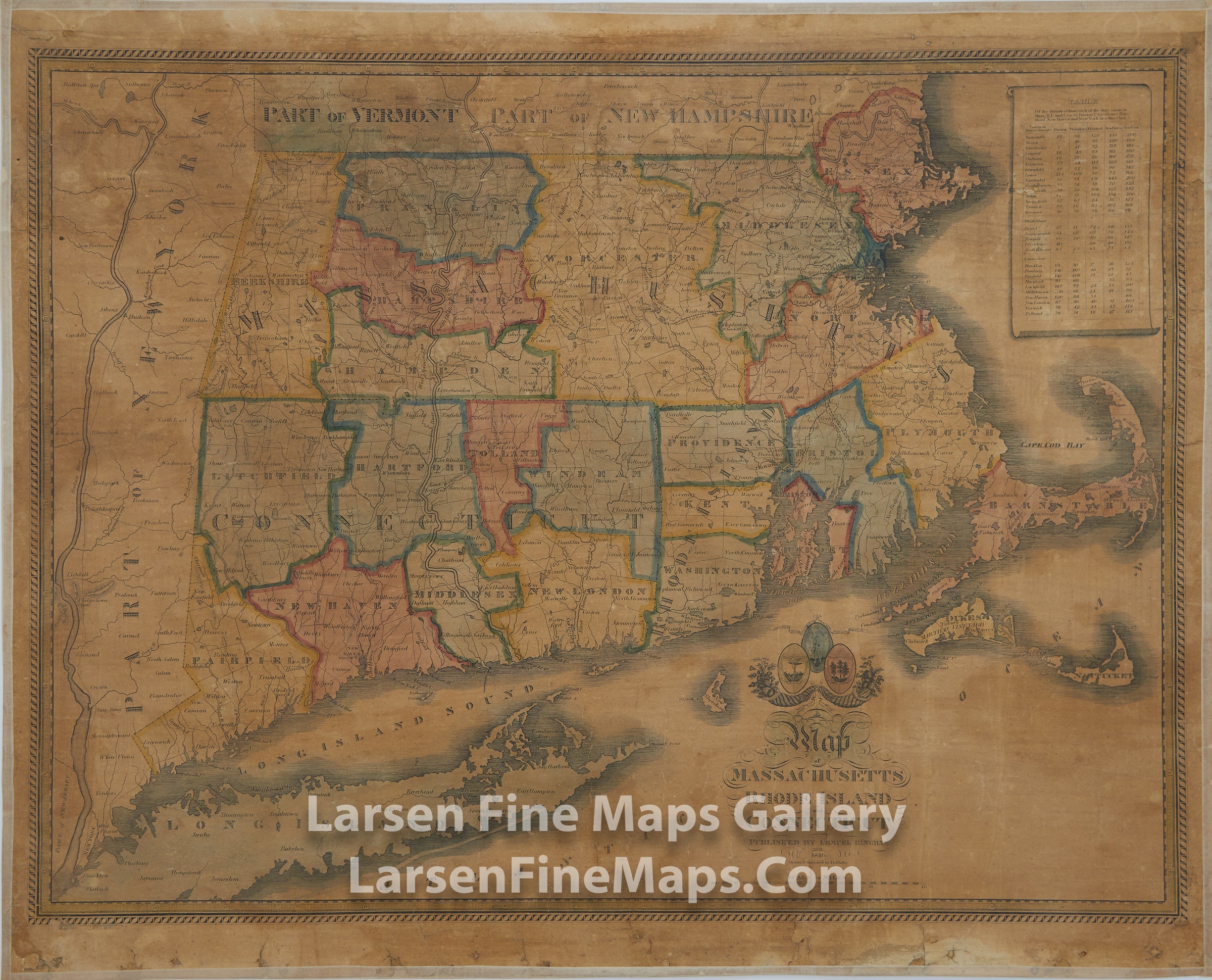
A map of Massachusetts, Rhode Island and Connecticut
DESCRIPTION
A very rare and striking map of Massachusetts, Connecticut and Rhode Island, with the state borders of Vermont and New Hampshire to the north, the Atlantic Ocean to the east and south, and part of New York State to the west.The counties are depicted in various colors with outlines of same color with darker tone. Physical features depicted include mountains (relief shown by hachures), rivers, and lakes. To the right of the map is a table listing the distances between various towns in Massachusetts, Rhode Island and Connecticut and Boston, Providence, Hartford, New Haven and New York. Above the title text, the cartouche features the seals of the three states depicted; the Rhode Island and Connecticut seals also bear the states' mottos, "Hope," and "Qui transtulit sustinet," respectively. Above the Massachusetts seal is its state motto, "Ense petit placidam sub libertate quietem." Below the seals are two cornucopias or horns of plenty.
FULL TITLE
MAPMAKER/CARTOGRAPHER/AUTHOR
PUBLISHER
PUBLICATION
DIMENSIONS (Inches)
CONDITION
Choose options
DESCRIPTION
FULL TITLE
MAPMAKER/CARTOGRAPHER/AUTHOR
PUBLISHER
PUBLICATION
DIMENSIONS (Inches)
CONDITION
DESCRIPTION
FULL TITLE
MAPMAKER/CARTOGRAPHER/AUTHOR
PUBLISHER
PUBLICATION
DIMENSIONS (Inches)
CONDITION