YEAR PUBLISHED: 1855
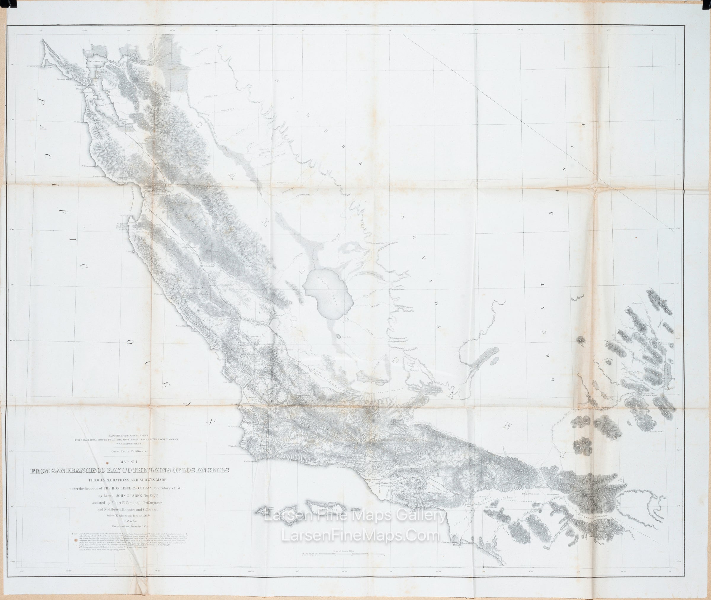
Map No. 1 From San Francisco to The Plains of Los Angeles
DESCRIPTION
Wheat dedicates more than a full page to what he calls "a map of the greatest interest, not only for its route, which is that of the Southern Pacific Coast Line but because of its showing of ranchos and missions along the route." The proposed line is shown from San Jose south to the Pubela de Los Angeles, San Bernardino, and through the San Gorgonio Pass on its way east. Remarkable detail along the route, including well-rendered hachure depicting elevation. The Spanish Trail, the mail route to Salt Lake City, and Whipple's route are shown passing through Cajon Pass and onto the Mojave River.
FULL TITLE
MAPMAKER/CARTOGRAPHER/AUTHOR
PUBLISHER
PUBLICATION
DIMENSIONS (Inches)
CONDITION
Choose options
DESCRIPTION
FULL TITLE
MAPMAKER/CARTOGRAPHER/AUTHOR
PUBLISHER
PUBLICATION
DIMENSIONS (Inches)
CONDITION
DESCRIPTION
FULL TITLE
MAPMAKER/CARTOGRAPHER/AUTHOR
PUBLISHER
PUBLICATION
DIMENSIONS (Inches)
CONDITION