

YEAR PUBLISHED: 1842
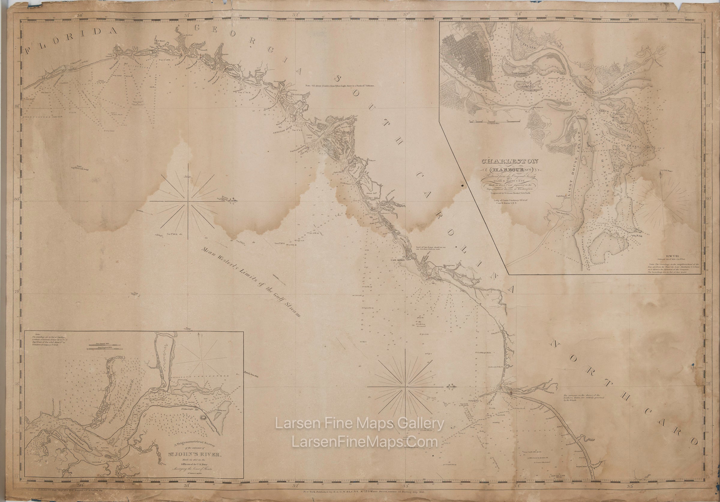
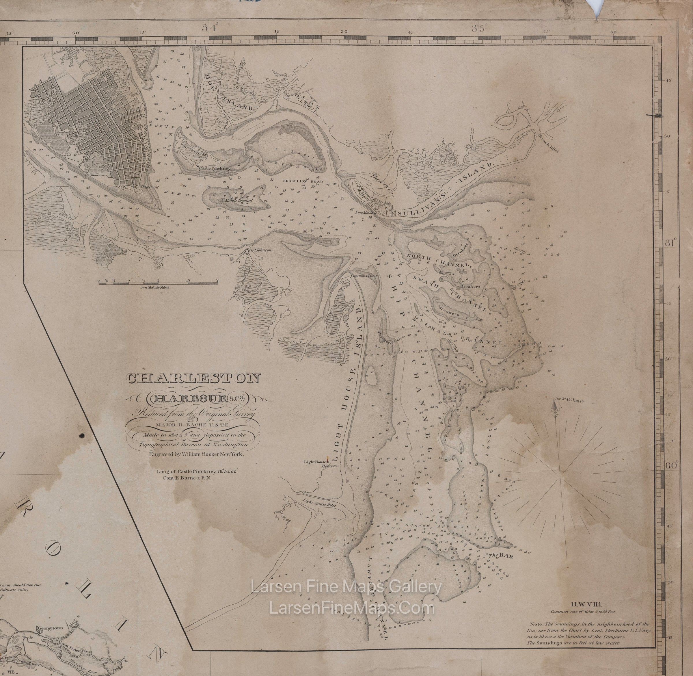
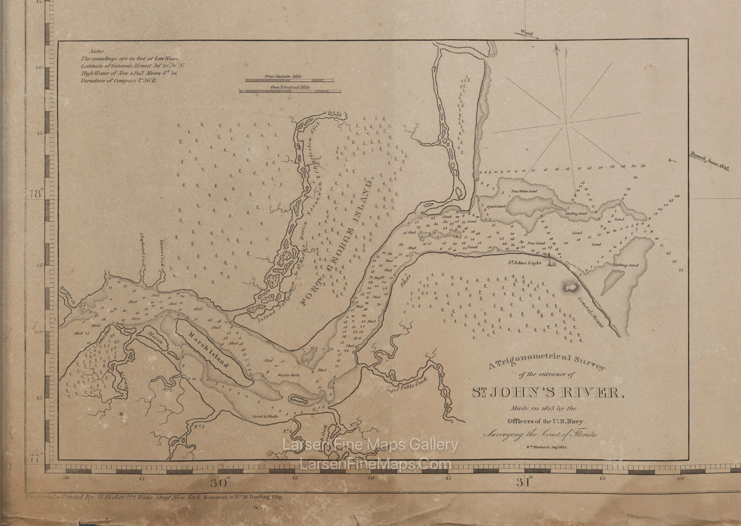
Southeast Coast of United States Sea Chart (untitled main chart). Inset Charts: (1) Charleston Harbour. (2) Entrance to St. John's River
DESCRIPTION
Early coast chart from Cape Fear, North Carolina, to St. Augustine, Florida.
This is a scarce edition of this very rare nautical chart based on the updated 1842 edition, as noted on the lower margin. This issue is corrected to at least 1845, as deduced by the notation "Bennett Russell June, 1845" on the north arrow of the compass rose (the chart is oriented north to the right). The more common later editon of 1854 is noted as corrected to 1854.
The chart has numerous soundings and notations for harbors, inlets, rivers, bottom types, hazards to navigation, fishing grounds, etc. There are two large inset charts; one of Charleston Harbour, S. Ca, Reduced from the Original Survey of Major H. Bache, and the other of A Trigonometrical survey of the entrance of St. John's River made in 1823 by the officers of the U.S. Navy, surveying the coast of Florida ; [engraved by] William Hooker, Aug. 1832.
FULL TITLE
MAPMAKER/CARTOGRAPHER/AUTHOR
PUBLISHER
PUBLICATION
DIMENSIONS (Inches)
CONDITION
Choose options

DESCRIPTION
FULL TITLE
MAPMAKER/CARTOGRAPHER/AUTHOR
PUBLISHER
PUBLICATION
DIMENSIONS (Inches)
CONDITION
DESCRIPTION
FULL TITLE
MAPMAKER/CARTOGRAPHER/AUTHOR
PUBLISHER
PUBLICATION
DIMENSIONS (Inches)
CONDITION