YEAR PUBLISHED: 1845
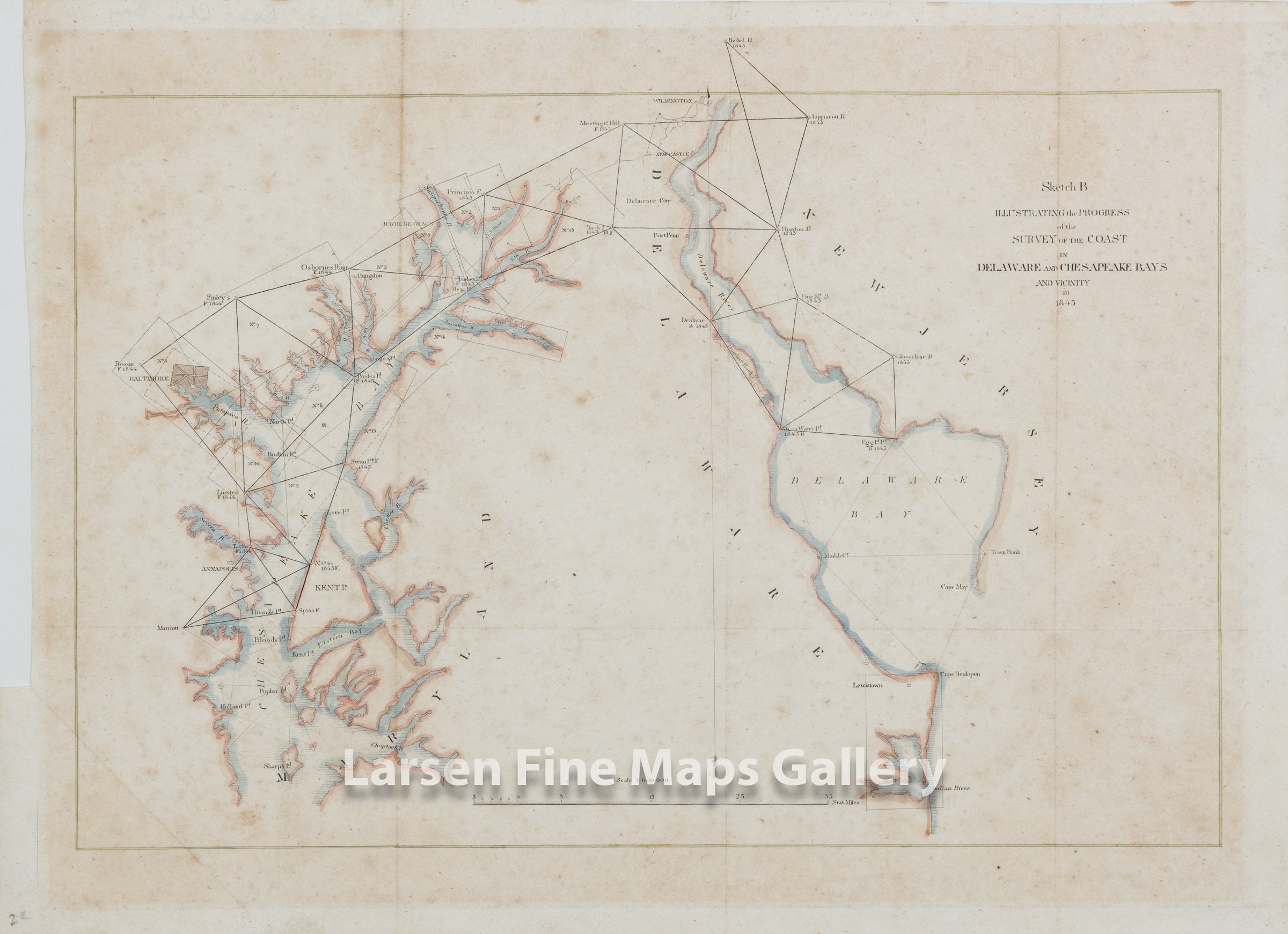
The Coast in Delaware and Chesapeake Bays and Vicinity in 1845
DESCRIPTION
This is a very rare and early edition of the Coast Survey chart of the Chesapeake Bay and Delaware Bay showing the progress of the triangulation and charting. Some key cities and towns are shown as well as the triangulation stations used and the dates. This chart has been mounted and lightly colored. This chart is the state with the correct label of "Sketch B" in the title. An earlier state of this chart still bound in the report at LFMG, is labeled "Sketch C" with a hand-written correction to "B".
FULL TITLE
MAPMAKER/CARTOGRAPHER/AUTHOR
PUBLISHER
PUBLICATION
DIMENSIONS (Inches)
CONDITION
Choose options
DESCRIPTION
FULL TITLE
MAPMAKER/CARTOGRAPHER/AUTHOR
PUBLISHER
PUBLICATION
DIMENSIONS (Inches)
CONDITION
DESCRIPTION
FULL TITLE
MAPMAKER/CARTOGRAPHER/AUTHOR
PUBLISHER
PUBLICATION
DIMENSIONS (Inches)
CONDITION