YEAR PUBLISHED: 1872
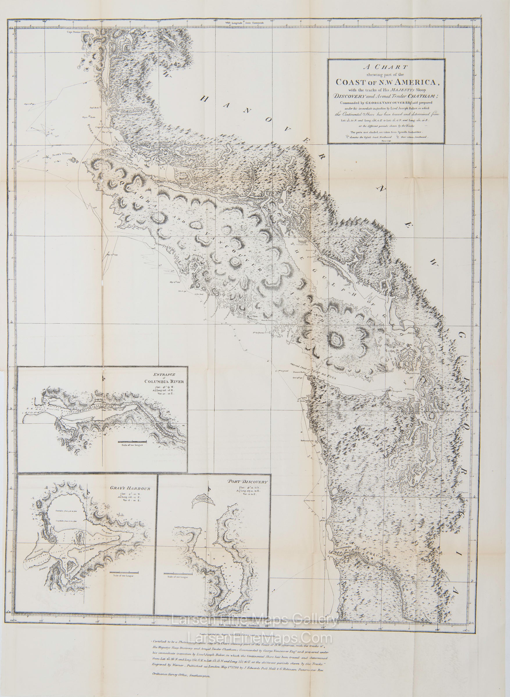
A Chart Shewing Part of the Coast of N.W. America, with the Tracks of His Majesty’s Sloop Discovery and Armed Tender Chatham;
DESCRIPTION
This is the 1872 official reproduction of Vancouver’s 1798 map that was part of the British presentation in the Berlin Arbitration, concluded in 1872, that settled the boundary dispute between the United States and Britain over San Juan Island that had precipitated the Pig War of 1859.
Certified to be a true photozincographic facsimile of "A chart shewing part of the coast of N.W. America … Published at London May 1st, 1798 J. Edwards Pall Mall & G. Robinson, Paternoster Row.” Ordnance Survey Office, Southampton. Insets: Entrance of Columbia River. Gray's Harbour. Port Discovery. Relief is shown pictorially and by hachures; depths by soundings.
IMPORTANT NOTE:
All of our United States Coast Survey (USCS), United States Coast & Geodetic Survey (USC&GS), and similar maps and charts have been professionally unfolded and flattened using humidity baths, semi-permeable membrane, and drying blotter techniques. Most others you typically see on eBay have not been, and worse, are quickly and crudely unfolded for the low-quality photos you see. Unfolding these maps in that way is damaging and weakens them. Please be aware.
FULL TITLE
MAPMAKER/CARTOGRAPHER/AUTHOR
PUBLISHER
PUBLICATION
DIMENSIONS (Inches)
CONDITION
Choose options

DESCRIPTION
FULL TITLE
MAPMAKER/CARTOGRAPHER/AUTHOR
PUBLISHER
PUBLICATION
DIMENSIONS (Inches)
CONDITION
DESCRIPTION
FULL TITLE
MAPMAKER/CARTOGRAPHER/AUTHOR
PUBLISHER
PUBLICATION
DIMENSIONS (Inches)
CONDITION