YEAR PUBLISHED: 1853
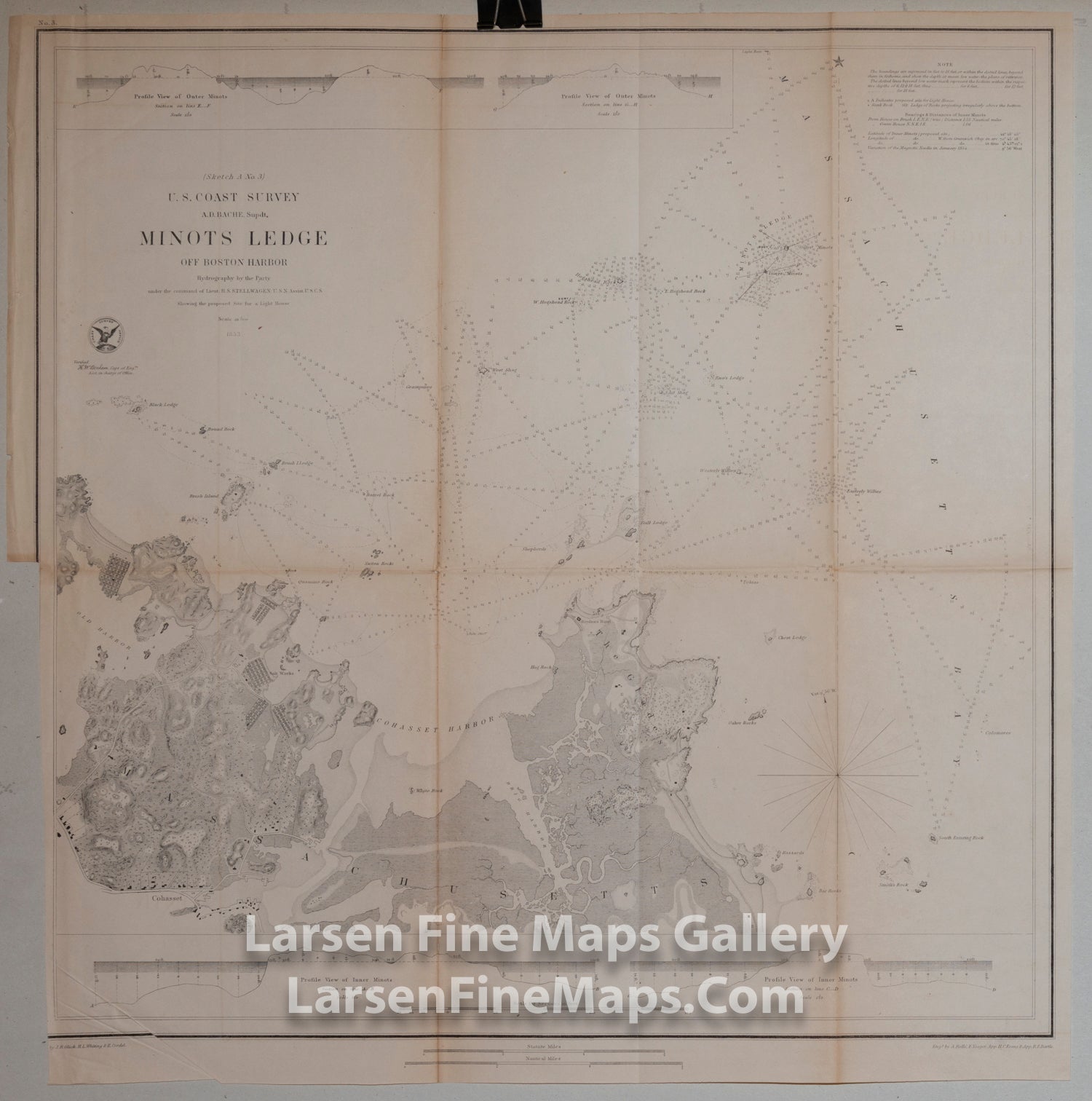
Sketch A No. 3 Minot’s Ledge off Boston Harbor USCS Map
DESCRIPTION
A highly detailed chart of Minot's Ledge off of Boston Harbor with great inland detail and bathymetic profiles. Shows topography (hachures), roads, buildings, rocks, navigational hazards, tidal flats, depths soundings and town of Cohasset, salt works, and The Glades.
Minot’s ledge, off Cohasset, Mass. presented a serious hazard to shipping. Many vessels wrecked there in the early 19th century. Finally, in 1847, Congress appropriated money for a lighthouse on the ledge. Completed in 1849 and noted by Thoreau in his book “Cape Cod.” John W. Bennett, was the second keeper of this light, the first having resigned because he did not believe the lighthouse was safe. Bennett came to share this belief and installed a thick rope hawser extending from the tower to a rock about 200 feet away. A basket or sling was suspended from the rope, with the idea that the keepers could use it as an escape route in emergencies. However, this measure was little help during the great storm of April, 1851. Bennett happened to be ashore when the lighthouse collapsed, and two substitute keepers were drowned.
FULL TITLE
MAPMAKER/CARTOGRAPHER/AUTHOR
PUBLISHER
PUBLICATION
DIMENSIONS (Inches)
CONDITION
Choose options
DESCRIPTION
FULL TITLE
MAPMAKER/CARTOGRAPHER/AUTHOR
PUBLISHER
PUBLICATION
DIMENSIONS (Inches)
CONDITION
DESCRIPTION
FULL TITLE
MAPMAKER/CARTOGRAPHER/AUTHOR
PUBLISHER
PUBLICATION
DIMENSIONS (Inches)
CONDITION